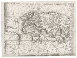
World. WALDSEEMULLER, M. [Strasbourg, 1513] Orbis Typus Universalis Iuxta Hydrographorum Traditionem. 17 3/8 x 22 1/2 inches. Woodcut with complete margins; some weakening of impression in areas, else excellent condition. An exceptional, uncropped example of one of the earliest world maps of the Discovery.....
New Arrivals
Results 1 - 2 (of 2)
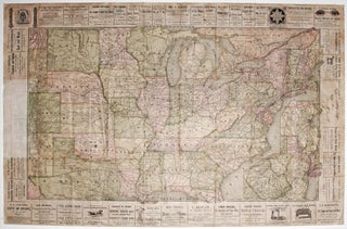
United States/ New York State/ Railroads/ Advertising. HANNIFAN & CO., Publisher/ RAND MCNALLY, Printer [New York, 1886] 1885.-Railroad Map And Business Guide in Book Form.-1886.Embracing the Principal Manufacturers, Trades and Representative Business House of Utica, Rome Camden..and Schenectady. 25 ½ x 39 ½ inches. Lithographed folding map with original hand.....
Results 1 - 2 (of 2)


