click here to zoom
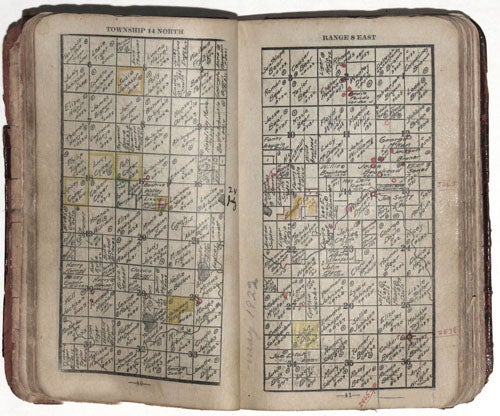
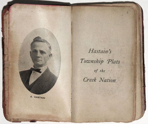
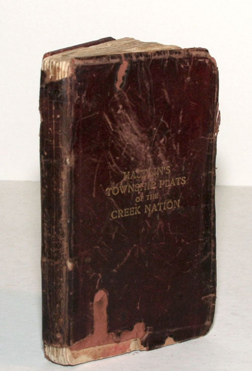
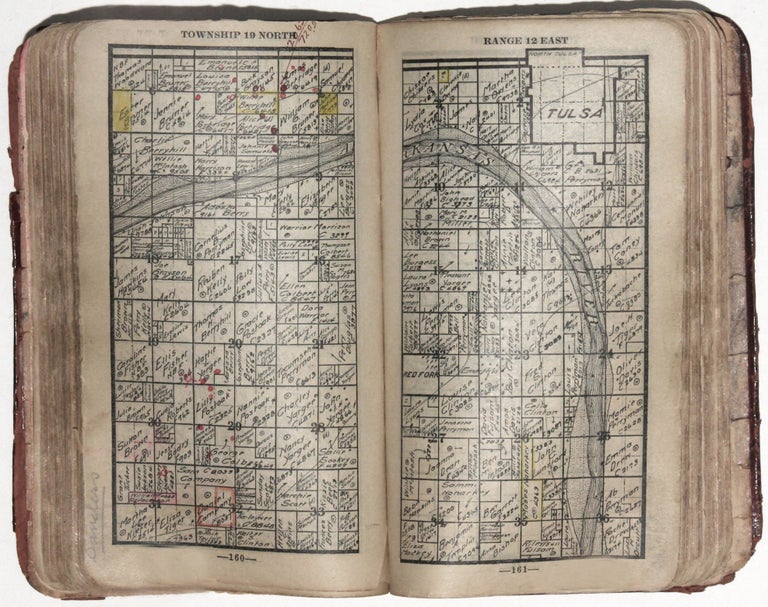
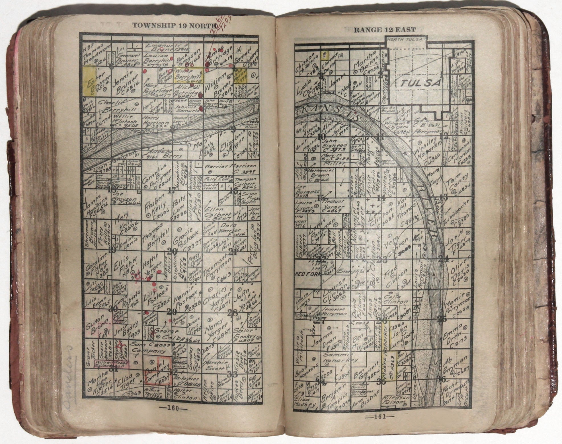
Hastain's Township Plats of the Creek Nation.
8vo., (6 4/8 x 4 inches), Original red roan with gilt title, fairly worn with some losses. 297 pages of lithographed maps, with numerous ms. notation & some hand-colored highlighting, 20 pp. index of names, photographic portrait of Hastain facing engraved title; internally lightly toned, certain signs of use but overall very good condition.
A scarce, pocket land atlas, made for use in the field, of the properties owned by members of the Five Civilized Tribes--the Creek, Seminole, Cherokee, Choctaw and Chickasaw nations. The work remains to this day one of the best and most reliable sources for locating original land ownership titles in, and historical research of eastern Oklahoma.
Toward the end of the nineteenth century the United States government began to appropriate the tribal lands of the Five Civilized Tribes. As compensation, individual families were to receive allotments of land, with the remaining land made available for homesteading. Enterprising whites had come into the Indian Territory and saw their opportunity to acquire title to some of the Indian allotment lands. The discovery of oil and gas fields accelerated this process. There was thus a need to know who the landowners were and the precise locations of their tracts of land, which resulted in the compilation and publication of land atlases and indexes to land ownership by local map publishers and compilers, such as the present work.
Edward Hastain (1869-1943) was an attorney who came to Muskogee, Indian Territory, around 1900. After becoming interested in acquiring land in the area, he compiled and published this land ownership atlas that provides a quick and factual reference to the original owners of lands in Indian Territory. It was used by abstract and title firms, the legal profession, county clerks, the various land administrative offices of tribes, land investors and speculators, and even the Bureau of Indian Affairs (BIA). Hastain's land ownership atlases were reasonably priced and small enough in size to be easily carried in a pocket for use in the field. Those interested in land investment opportunities whether for farming, industrial purposes or for the mining of coal, oil and gas were the primary purchasers of these publications.
Judging from the many inscriptions and stamps inside the front cover of this copy, it had many owners. And while the fairly extensive color highlighting and notations within it indicate considerable use, it is in sturdy condition.
Sold