
click here to zoom
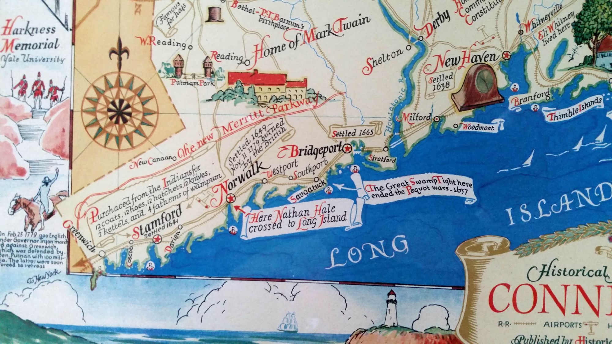
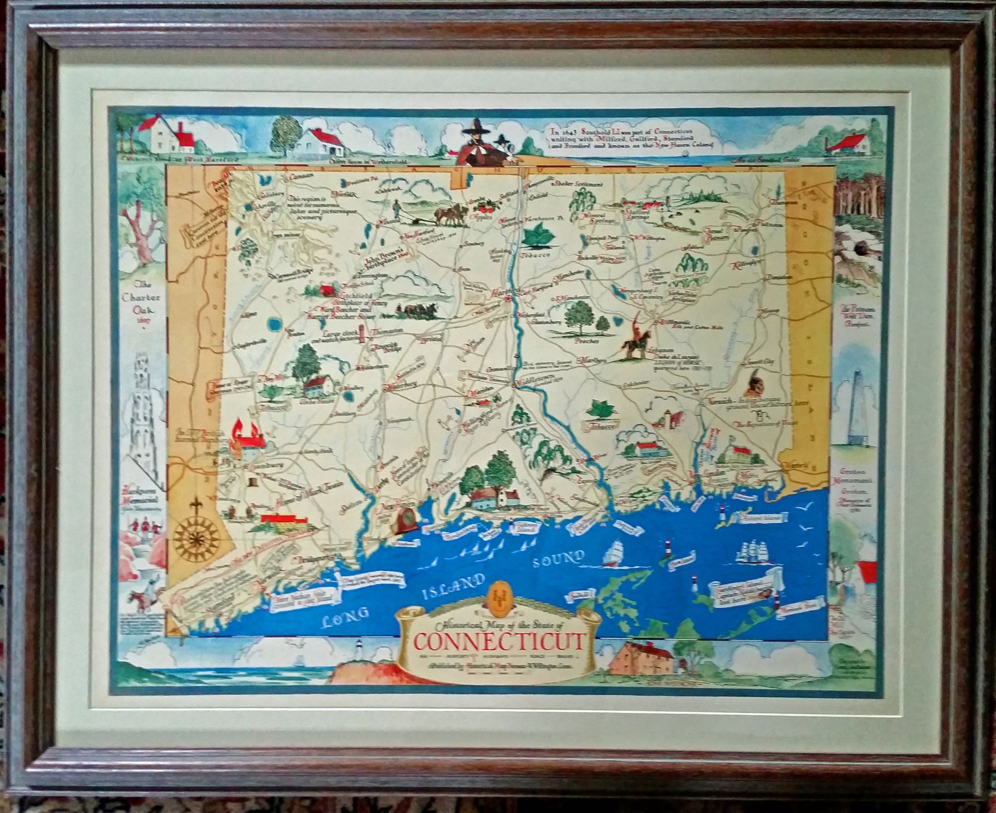
Connecticut. DES ROSIERS, Leon L./ HISTORICAL MAP BUREAU [West Willington, CT: 1937] Historical Map of the State of Connecticut… Lithograph. 16 ¾ x 22 inches; with frame: 23 x 28 ¼ inches. Fine condition. In an attractive, archival frame. Rare. One of the most lively and vibrant pictorial maps of Connecticut from the first half of the 20th century. An unusually fine example for a map of this type. As its title suggests, the map emphasizes the state’s history, which is illustrated by its numerous vignettes. The birthplaces of prominent Nutmegers—John Brown, Nathan Hale, P. T. Barnum, Henry and Harriet Beecher Stowe, Eli Whitney, etc.-- are noted. Also illustrated are battle sites, historical episodes and important crops, notably shade tobacco along the Connecticut River. We have not found information on either the map’s designer, des Rosiers, or its publisher, the Historical Map Bureau, except that they also produced similarly styled maps of New York and New Jersey. Pictorial maps of this type flourished from the 1920s to the 1980s and have been eagerly collected in recent years. This work is prime example of the genre.
Sold