click here to zoom
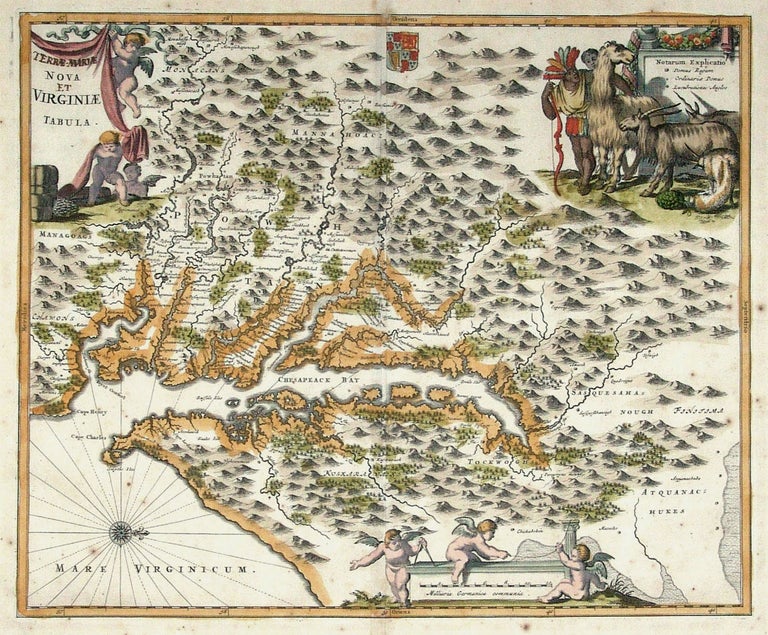
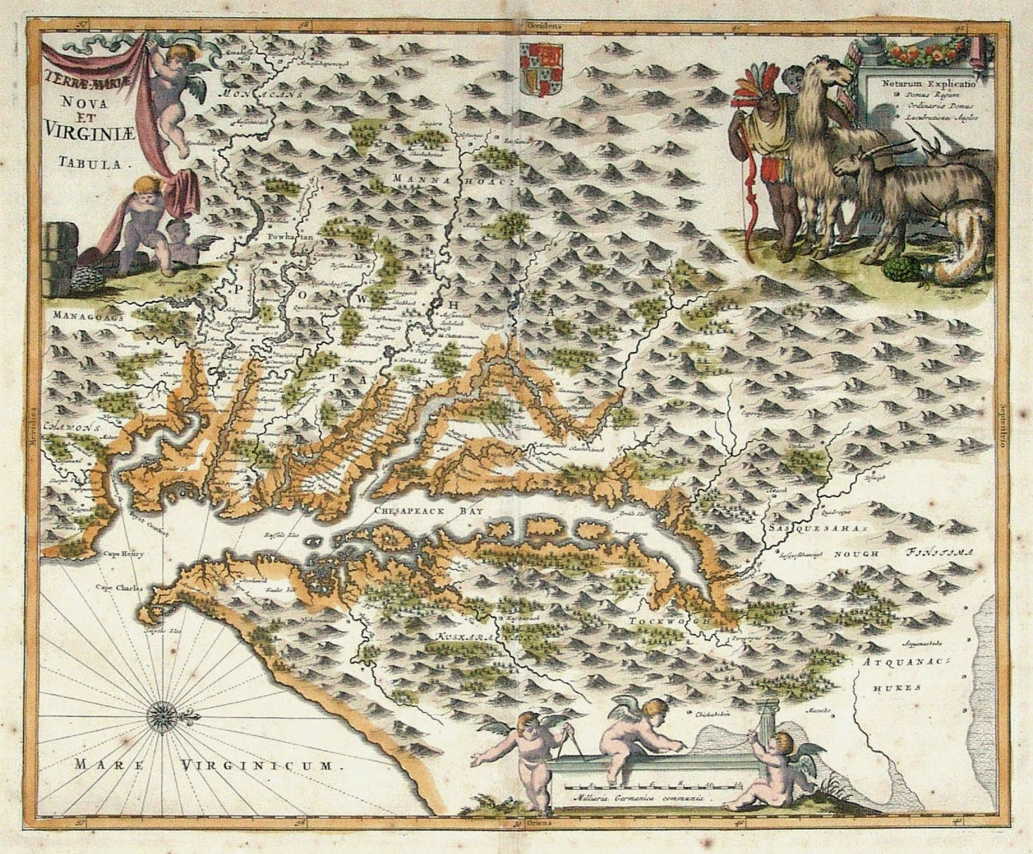
Virginia/ Maryland. OGILBY, J./ MONTANUS, A. [Amsterdam: 1671] [Terrae- Mariae] Nova [et] Virginiae Tabula. 11 3/8 x 13 7/8 inches. Fine hand color; old manuscript additions to title; lightly age-toned, else excellent condition. $1250 Attractively colored edition of Capt. John Smith’s landmark map that was based on the first survey of the Chesapeake Bay. Curiously, the map is illustrated with images of a llama, goat, and unicorn, which were evidently considered by Europeans to be native to Virginia. In early ink, Maryland (“Terre-Mariae”) was added to the title. Although the map itself is based on the Blaeu-Hondius engraving of the Smith map, all three cartouches on Ogilby-Montanus were new. Tooley, America, Derivative 8, pp. 168-69; Stephenson & McKee, Map I-6, pp. 30-1.
Sold