click here to zoom
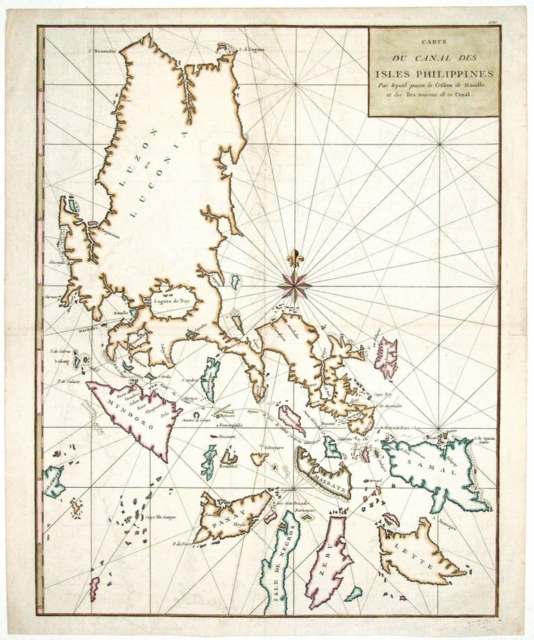
Philippines. ANSON, G. [London: 1749] Carte du Canal des Isles Philippines. 21 x 16 ½ inches. Fine hand color; excellent condition. A handsome chart of the Philippines showing the route of the Spanish treasure ships, the Galeones de Manila, running from Manila to the Philippine Sea. From that point, the ships would cross the Pacific to deposit the ivory, lacquerware, porcelain, silk and spices gathered in Asia, at Acapulco. The map is from the French edition of George Anson’s A Voyage Round the World. It is attractively engraved and colored, and a bold compass rose appears in the center of the map.
Price: $750.00
Status: On Hold