click here to zoom
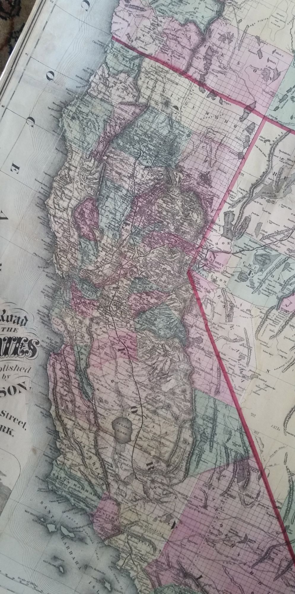
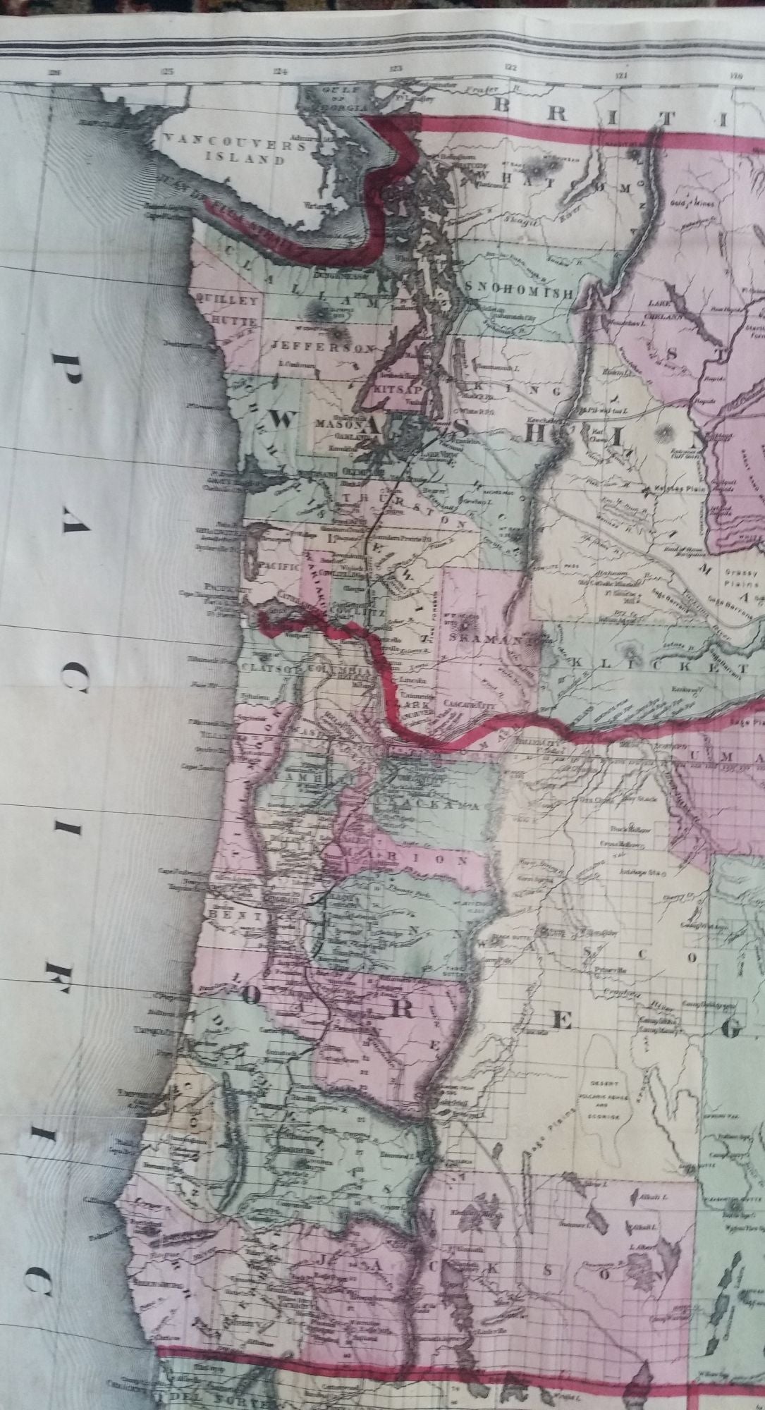
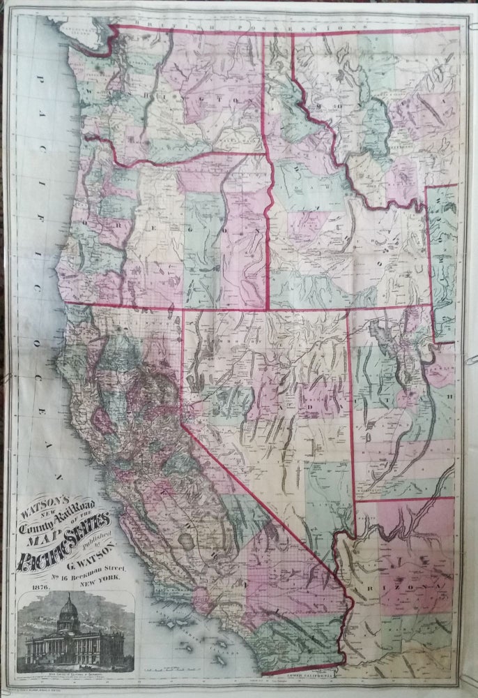
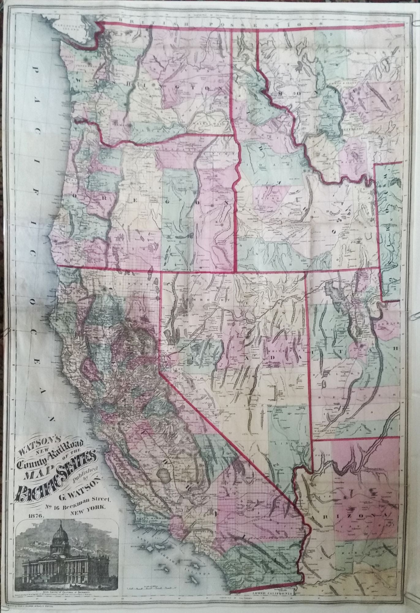
California & Western States/ Pacific Northwest/ Railroad History. WATSON, Gaylord [New York, 1876] Watson’s New County and Railroad Map of the Pacific States… 38 x 25 inches. Lithographed folding map with period hand color; extracted from original covers, retained, flattened & expertly mounted on rice paper; few splits & some filled losses at fold intersections, else a bright, very good example. Counties and townships are designated by hand color on the map. Topographic detail is very good, and the grid of the Land Ordnance Survey is shown. Gaylord Watson, of both New York and Chicago, published a number of other railroad maps. Rumsey 5568.001; not in Wheat & Modelski.
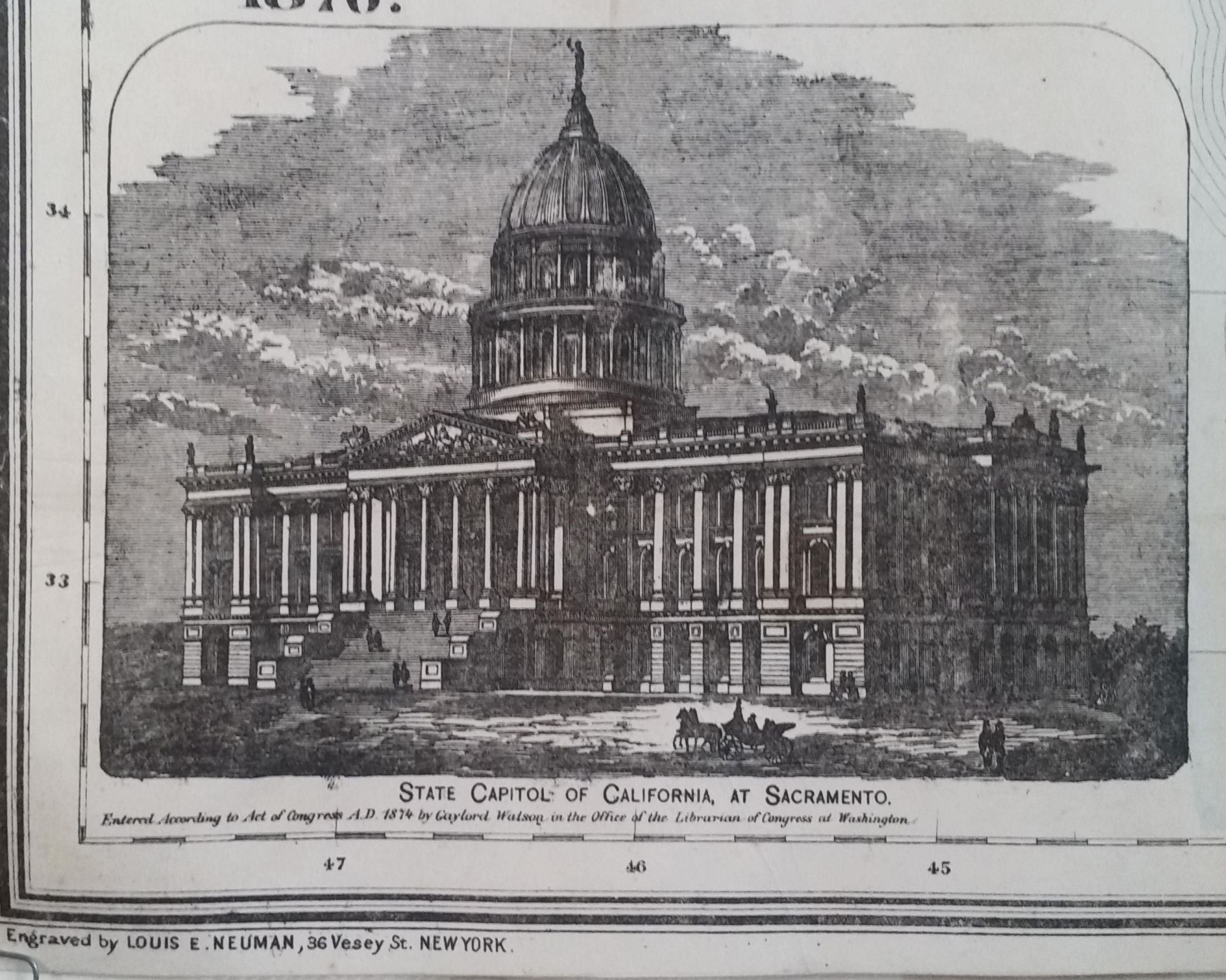
Rare, attractive map of the western United States that includes California, Washington, Oregon, Idaho, Nevada, most of Utah and Arizona, and western Montana. It provides an excellent picture of the extent of railroad development throughout the west, including the Northwest. At lower left is an illustration of California's state capitol building in Sacramento, which was completed the year this map was copyrighted in 1874. The neoclassical structure, designed by Reuben S. Clark, was modelled after the U. S. Capitol Building. It remains the seat of the state’s government.
Sold