click here to zoom
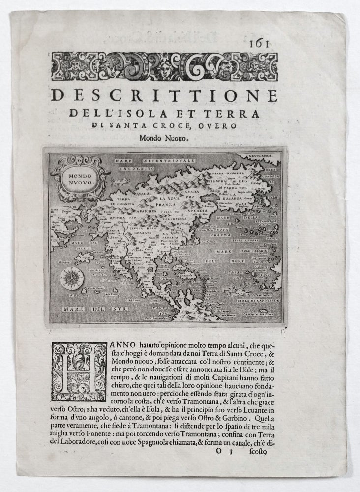
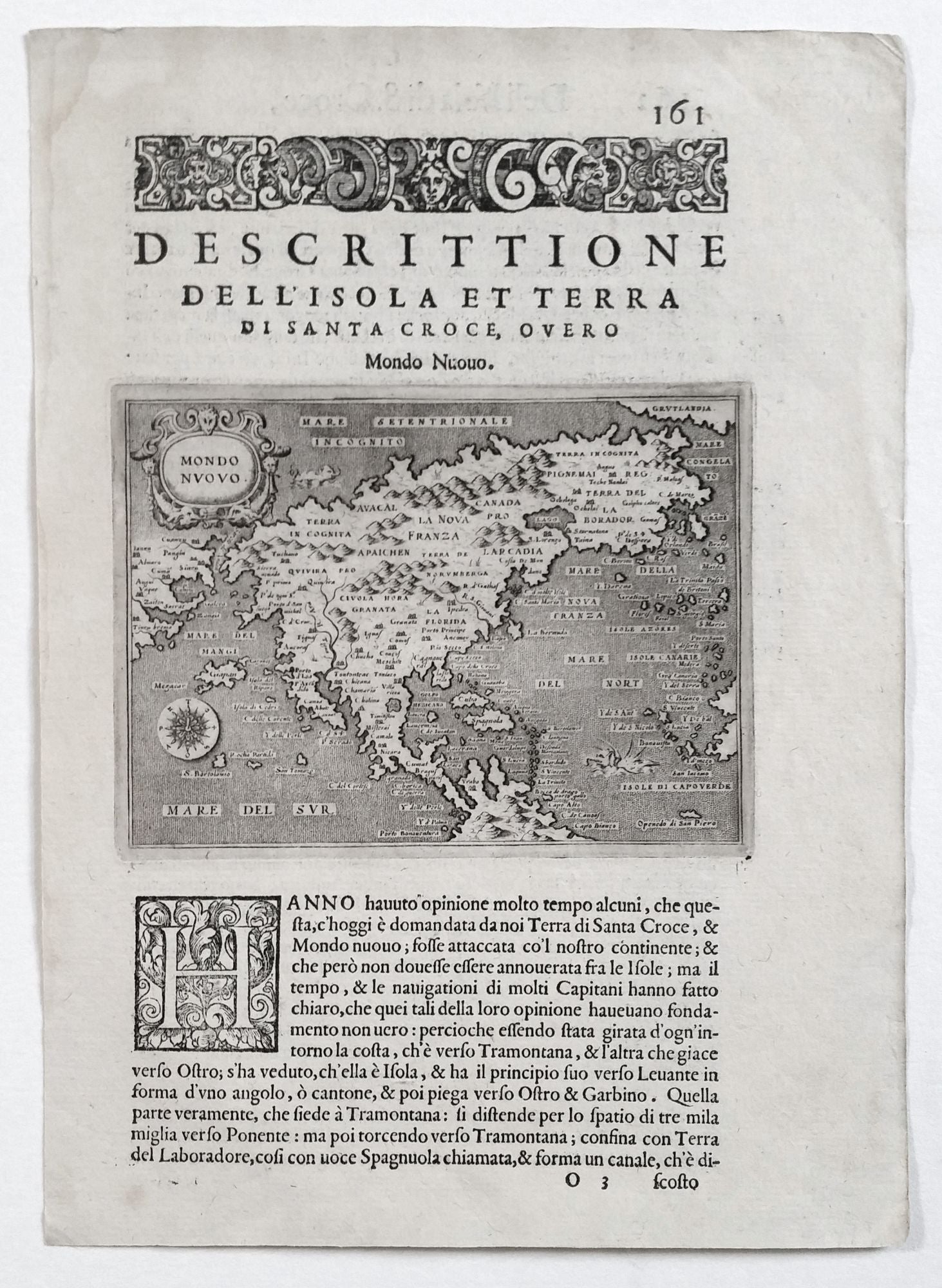
North America. PORCACCHI, Tomasso [Venice: 1572/ 1576] Mondo Nuovo. 4 ½ x 5 ¾ inches (map only). Faint tide mark upper left margin, else excellent. First state of the second earliest, obtainable map of North America, preceded only by Paolo Forlani's rare map of North America, published in Venice in 1565. Porcacchi’s map includes many ”firsts” that makes the Forlani such an important map, including the first detailed depiction of the Straits of Anian separating Asia and North America. This was a significant detail as the separation of the continents was far from established at the time. Porcacchi’s map reflects the second Cartier voyage and early Spanish explorations in the southwest, most notably Coronado's. However, the it also richly embodies the geographic uncertainties of the day. Among these are a greatly distended Baja peninsula, the Colorado River flowing from the far north, a frying pan-shaped Florida, Japan just off the southern California coast, and the St. Lawrence River emerging from a single lake. However, the place name “Canada” (first seen on a printed map in 1560) appears here at a quite early date, as does “Porto de San Michel” (San Diego). Porcacchi’s elegantly engraved map has a lovely compass and attractive cartouche. Burden 48, state 1.
Sold