click here to zoom
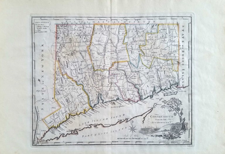
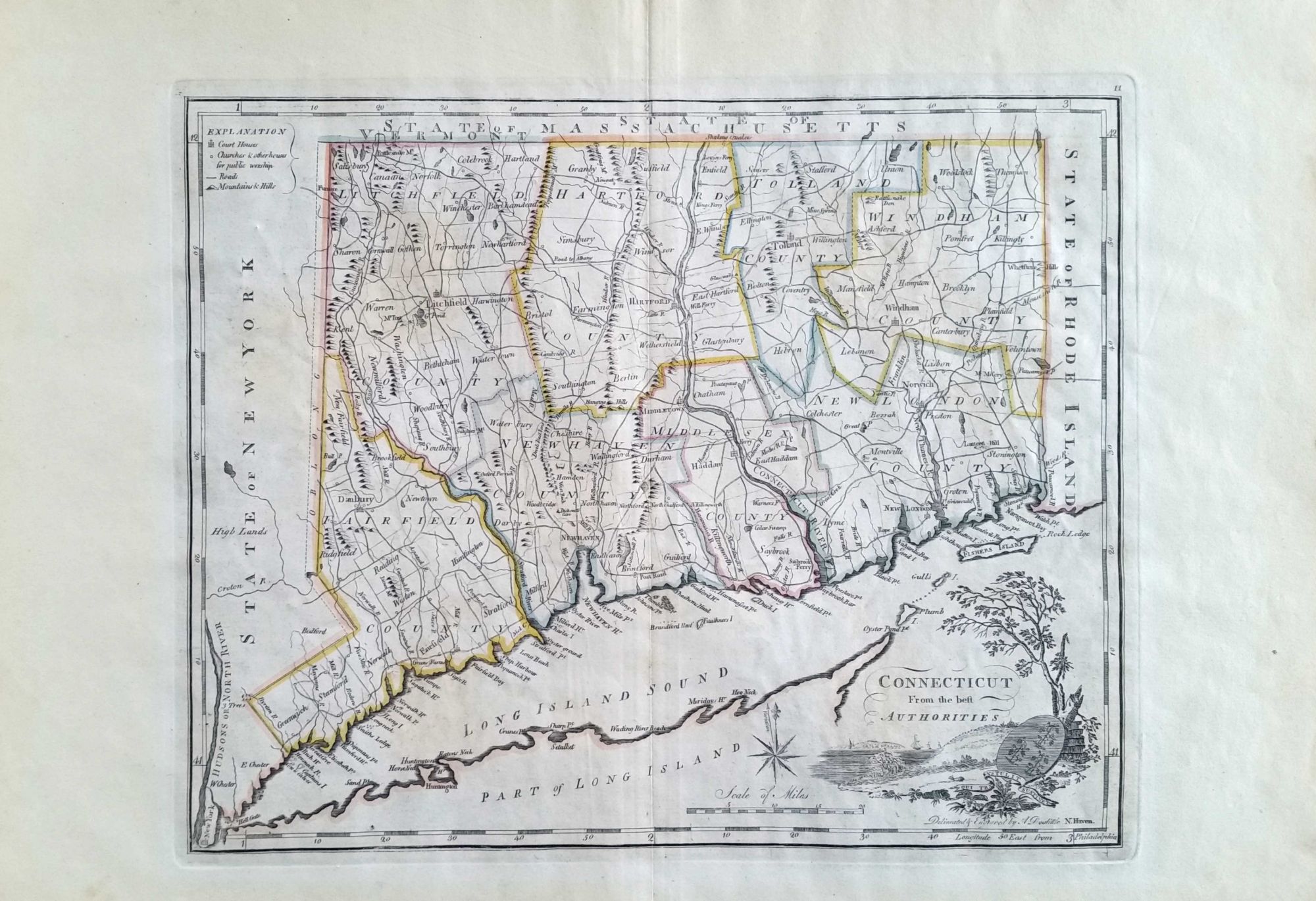
Connecticut. DOOLITTLE, Amos/ CAREY, Matthew [Philadelphia: 1795 [1800]] Connecticut From the best Authorities. 11 ¾ 14 ¾ inches. Copperplate engraving with original outline color; paper lightly age-toned, still an excellent example. The earliest map of Connecticut to appear in an American-produced atlas and one of the earliest of the state overall. It provided the definitive depiction of the state in the early Federal period and delineates town borders and the major roads existing at the time. It also contains several interesting notations. The “Shaking Quakers,” appearing north of Enfield, refers to a Shakers sect established there is 1780. “Glassworks” in Manchester was a pioneering attempt began in 1783 to manufacture glass. “Greens Farms” appears in the area of today’s Westport; it was the location of the town’s original settlement. Other notes refer to historic events. Amos Doolittle of New Haven was one of Connecticut’s earliest and most prolific engravers. Matthew Carey was a major Philadelphia publisher who issued several landmark geographic works. The map appeared in three works: Guthrie’s Geography Improved (also published by Carey in 1795) and Carey’s own American Atlas (1795) and General Atlas (1800); this example was from the latter as indicated by the plate number at upper right. Thompson’s Maps of Connecticut, pp. 46 & 49; Virga, V. Connecticut Mapping the Nutmeg State, pp. 36-37.
Sold