click here to zoom
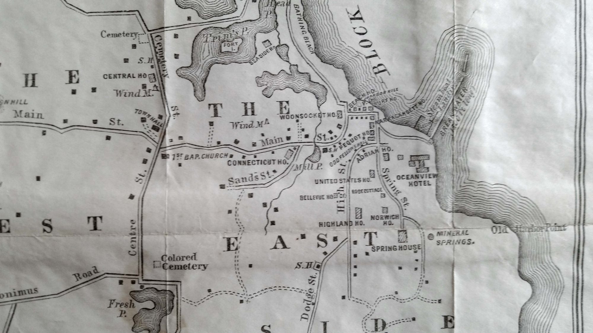
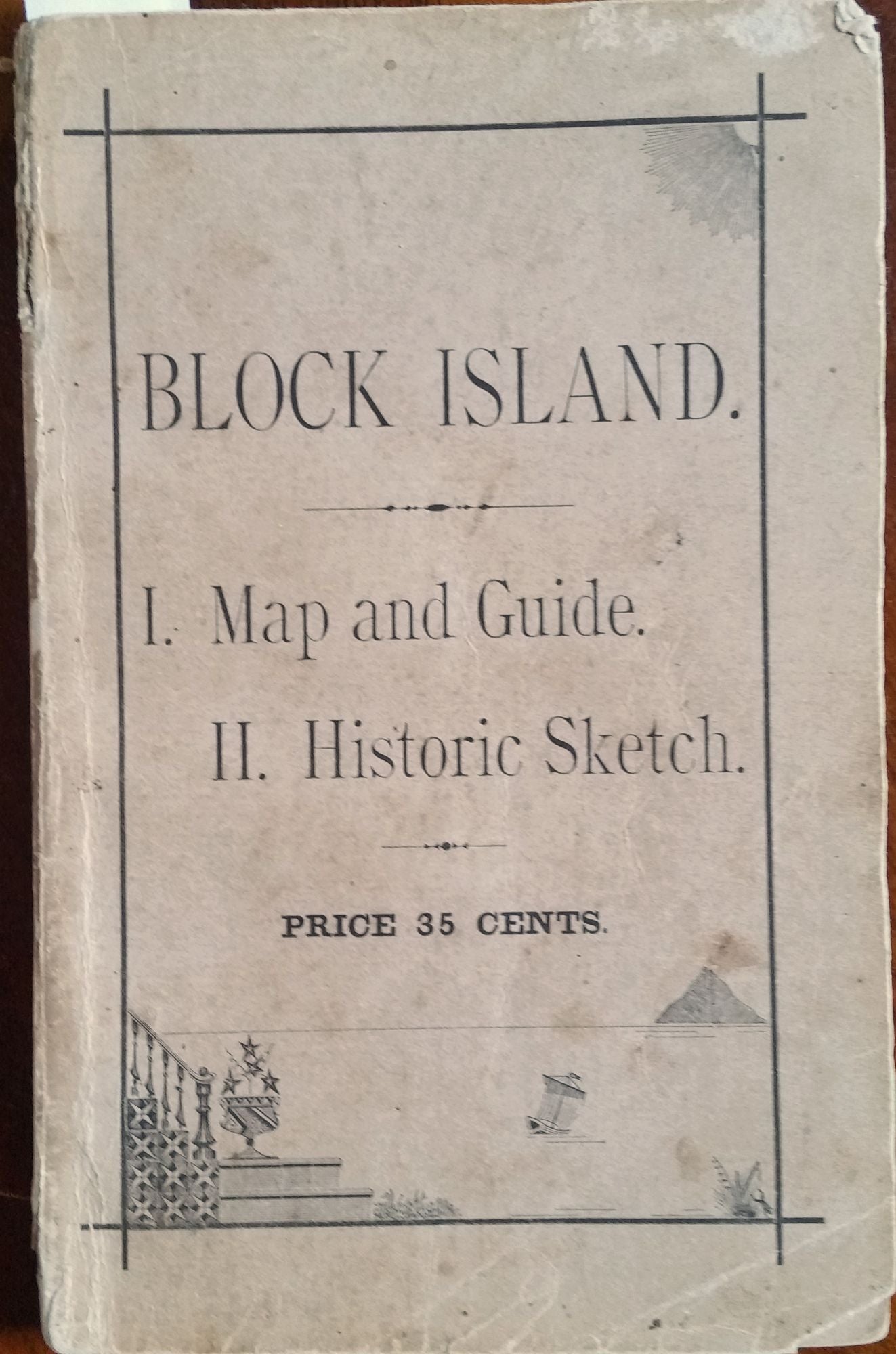
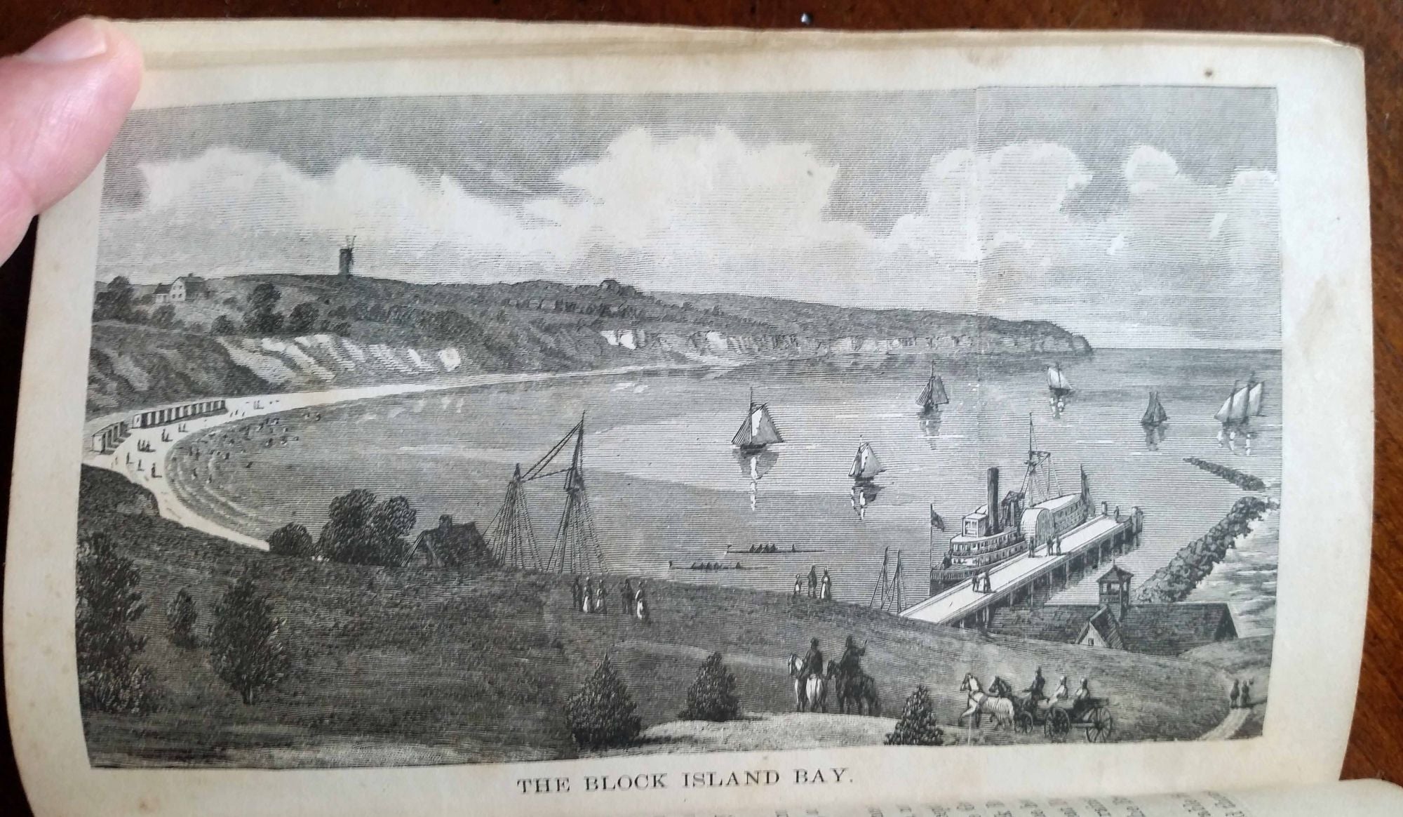
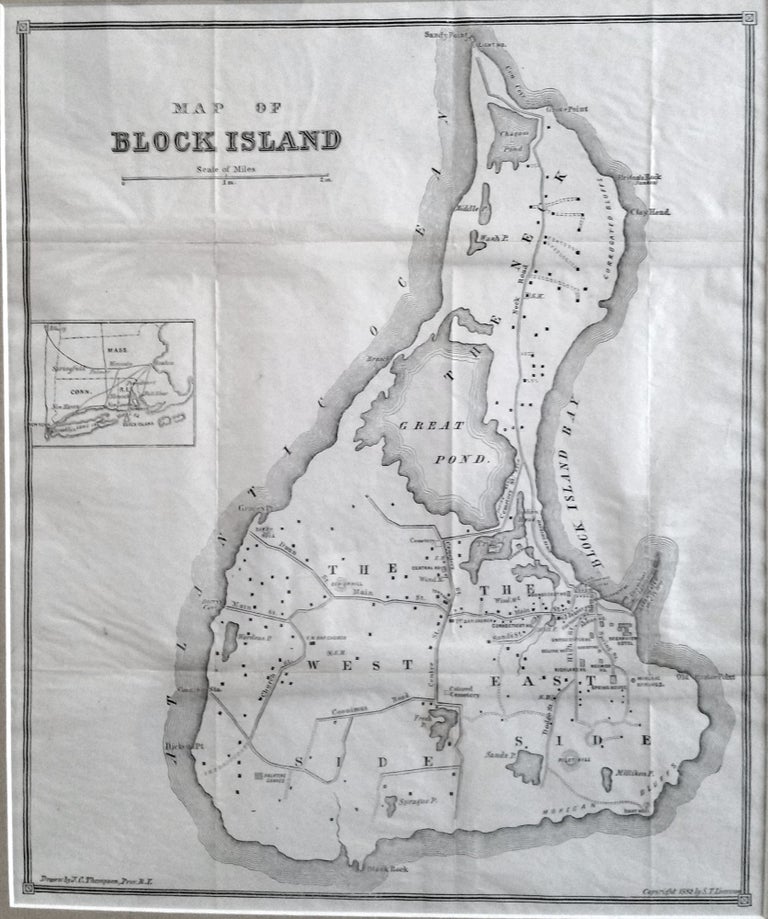
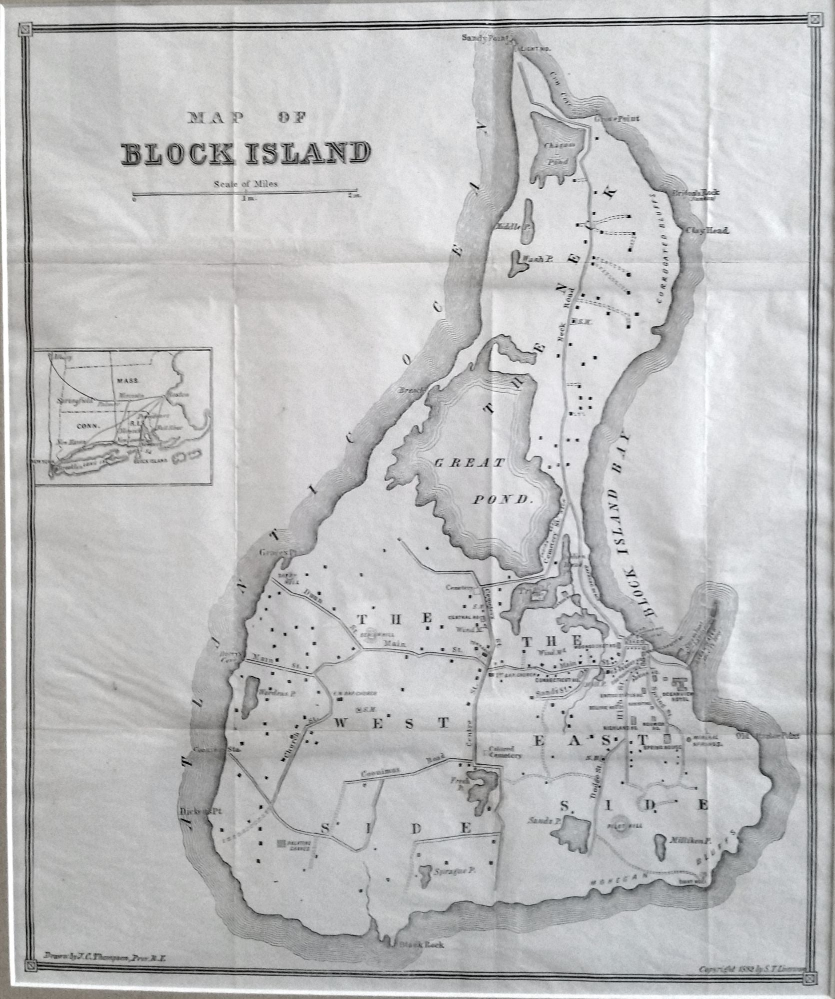
Block Island. THOMPSON, J. C. [Providence, RI: 1882] Map Of Block Island. 13 ¾ x 11 ¾ inches. Framed size: 22 x 19 inches. Lithograph. Very minor fold wear; excellent condition. [With:] Block Island. I. Map and Guide. II. Historic Sketch. Rev. S. T. Livermore [Hartford, CT: 1882] 125 pp. with woodcut illustrations. All in excellent condition. Archivally framed. The earliest map we have seen thus far of Block Island exclusively; along with an illustrated 125-page guide book and history of the island. The map contains revealing details, both natural and manmade, much of which is still recognizable today and is suggestive of the island’s unique, of-another-era charm. The map shows the locations of the homes existing at the time as well as of resort hotels, some of which survive to this day, at least in name. Of historic interest, the map indicates the “Colored Cemetery,” several windmills, and a mineral spring. The map is offered here with the work, as noted above, in which it was originally published. It is a remarkably thorough, beautifully illustrated work that functioned as both a tourist guide and a serious historical work. This publication was a reflection of Block Island’s dramatic growth at the time as a resort destination. As in the case of the map, it is the earliest, specific such work on Block Island we are aware of.
Sold