click here to zoom
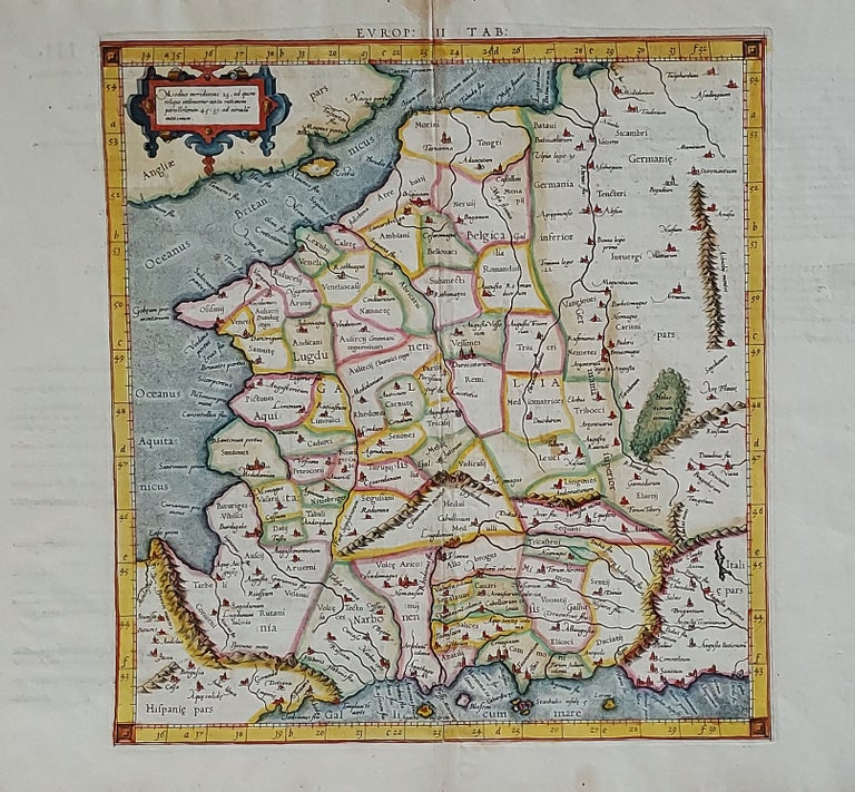
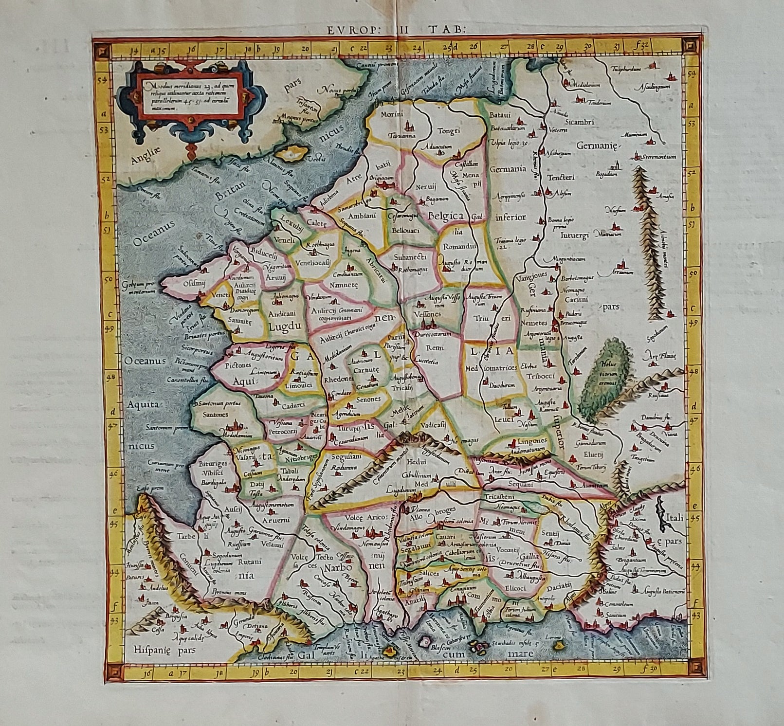
Europ: III Tab:.
13 5/8 x 12 ½ inches, Fine hand color; a few light stains mainly in margins, else excellent condition.
A scarce, early issue, the second overall, from Mercator’s definitive edition of Ptolemy’s geography. The map shows France as it was known in the Roman Imperial period. It was based on geographic data and mapmaking instructions left by Alexandrian astronomer and geographer, Claudius Ptolemy (fl. A.D. 127-180), whose work laid out the fundamental principles of cartography that are followed to this day.
Gerard Mercator (1512-1594), the great Flemish geographer, produced the edition of Ptolemy’s geography considered to be the most faithful and accurate. Specifically, Mercator’s maps conformed more closely to Ptolemy’s original design than any of the several earlier editions. Mercator’s became the standard text, with many editions following this one as late as the 18th century.
Mercator in 1540 published Literarum latinarum, the first instructional handbook in the use of the italic hand to appear outside of Italy. It was also the first work to offer instruction in the use of italic script in the engraving of maps. This and the other maps in Mercator’s Ptolemy are arguably the finest demonstrations Mercator provided in the use of italics on maps. Moreover, “the beauty and legibility of the best sixteenth and severteenth-century Dutch maps can be traced in large measure to Mercator’s influence” (Karrow, p. 382).
* Karrow, R. Mapmakers in the Sixteenth Century, pp. 376-406.
Price: $450.00