click here to zoom
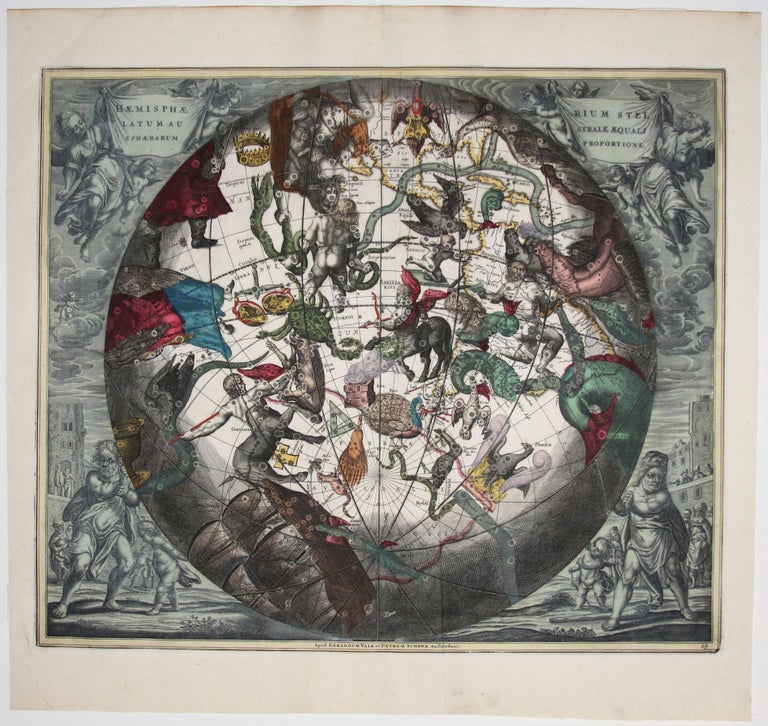
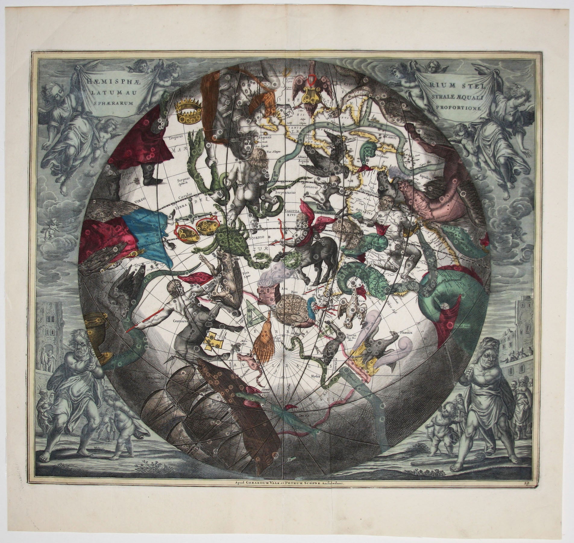
Haemisphaerium stellatum Australe aequali sphaerum proportione.
17 x 20 ¼ inches. Fine original color; reinforced centerfold, else excellent condition.
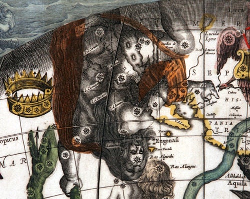
In this arresting work, constellations of the southern skies, as if viewed from deep in space, can be seen superimposed over a portion of the earth. The area depicted “beneath” the stars extends from the United States to the South Pole and includes all of South America. Because this chart shows constellations observable only at deep southern latitudes, this is one of the most astronomically advanced of all of Cellarius’ star charts. It was not until European exploratory voyages ventured far enough south that certain constellations became visible. Thus we have here Indus, Pavo, Grus, Toucan, Apis Indica, Chameleon, and the Southern Cross, all gleaned from southerly voyages.
In an attempt to retain some shred of the concept of the centrality of the earth in the cosmos, Cellarius subscribed to the notion that the stars were nestled in a sphere that moved in coordination with the earth, a movement in the celestial harmony embodied in part of the title of Cellarius’ atlas, Harmonia Macrocosmica.
Sold