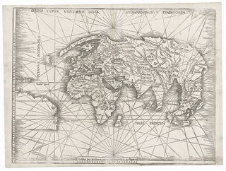
World. WALDSEEMULLER, M. [Strasbourg, 1513] Orbis Typus Universalis Iuxta Hydrographorum Traditionem. 17 3/8 x 22 1/2 inches. Woodcut with complete margins; some weakening of impression in areas, else excellent condition. An exceptional, uncropped example of one of the earliest world maps of the Discovery.....
Antique Maps
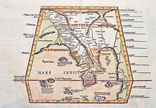
Myanmar (Burma)/ Thailand/ Bangladesh. FRIES, L., PTOLEMY, C. [Lyons: 1522/ 1535] [On verso:] Tabula XI Asiae. 11 x 16 inches. Fine hand color; excellent condition. One of the earliest acquirable maps to focus on a specific region of Southeast Asia. The areas depicted on the map is primarily today’s Myanmar.....
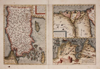
ORTELIUS, Abraham [Antwerp: 1570] Natoliae.../ Aegypti.../ Carthaginis... 12 1/2 x 19 1/4 inches. Fine hand color; reinforced bottom of centerfold, few edge mends, ink stain lower left, still very good condition overall.A very early issue from a 1570 edition, the year of the first appearance of Theatrum Orbis Terrarum, the first modern atlas. Three editions.....
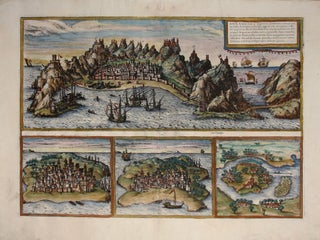
Aden, Arabiae Foelicis Emporium….
One of relatively few engravings by Braun & Hogenberg of non-European locales. The earliest acquirable European view of Aden in Yemen, the Arabian port commanding the passage between the Red Sea and the Indian Ocean. Also pictured are Mombasa in Kenya, Kilwa in Tanzania, and Sofala in Mozambique, all on.....
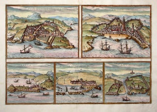
Tingis, Lusitanis Tangiara/ Tzaffin/ Septa/ Arzilla/ Sala.
The first issue of this early engraving of five Moroccan port cities, including Tangier, Asilah, the fishing port of Safi, and the ancient city of Sale’. Cueta is an autonomous Spanish city opposite Gibraltar.The engraving appeared in the Civitatis Orbis Terrarum, the first atlas of city plans and views. This remarkable work.....
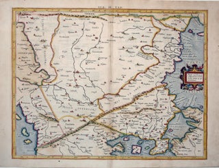
Eur: IX Tab:.
The very scarce, first state of this attractive map engraved by Gerard Mercator himself of what is today northwest Turkey, including Istanbul (here Byzantium) and the Dardanelles. Also on the map are present-day northern Greece, Macedonia, Albania, Bulgaria, Romania, Kosovo and Serbia. Meeting in this map are two of the.....
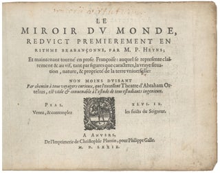
Atlas. ORTELIUS, A./ GALLE, F. [Antwerp, 1579] Le Miroir Du Monde, Reduict Premierement En Rithme… A Anvers, De l’Imprimerie de Christofle Plantin, pour Philippe Galle. M.D.LXXIX.Oblong octavo in contemp. Vellum, ties lacking; 72 maps, 6 of which folding; slight edge wear to text leaves, partial cropping to some folding maps for.....
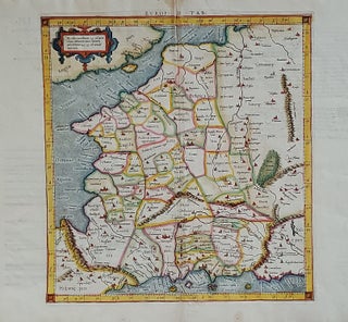
Europ: III Tab:.
A scarce, early issue, the second overall, from Mercator’s definitive edition of Ptolemy’s geography. The map shows France as it was known in the Roman Imperial period. It was based on geographic data and mapmaking instructions left by Alexandrian astronomer and geographer, Claudius Ptolemy (fl. A.D. 127-180), whose work laid.....
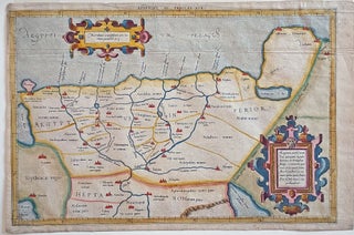
Appendix. III. Tabulae Afr:.
An attractive example of the second issue from Mercator’s definitive edition of Ptolemy’s geography. The map shows the area as it was known in the Roman Imperial period and includes Alexandria, the homeland of it maker, Claudius Ptolemy, and the center of learning at the time. Also on the map.....
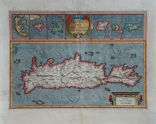
Crete/ Greek Islands. MERCATOR, G./ HONDIUS, J. [Amsterdam, 1633] Candia cum Insulis aliquot circa Graeciam. 13 ¼ x 18 ¾ inches. Fine hand color; lower margin, centerfold & cartouche at lower right reinforced, still very good overall. A very beautifully engraved and colored Dutch map from the great partnership of.....
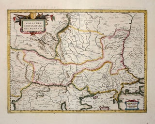
Serbia/ North Macedonia/ Bulgaria/ / Romania/ Bosnia/ Kosovo/ Albania/ Constantinople. MERCATOR, G. / HONDIUS, H./ JANSSON, J. [Amsterdam: 1636] 13 1/2 x 18 1/2 inches. Walachia, Servia, Bulgaria, Romania. Fine hand color; centerfold reinforced, else excellent condition. A detailed and attractive map of the lands surrounding the Lower Danube in the.....
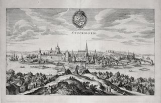
Stockholm, Sweden. MERIAN, M. [Frankfurt am Main, 1638`] Stockholm. 7 ½ x 13 inches. Marginal mend well away from printed image, else excellent condition. A superb bird’s-eye view, published just after Stockholm had become the official capital of the Swedish Empire. The view is oriented to the south.....
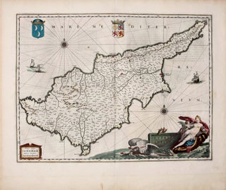
Cyprus Insula.
One of the finest early maps of Cyprus in a beautiful original-color example. Its magnificent cartouche portrays Venus, pulled on a sea-chariot by two swans, accompanied by Cupid (distinguishable from an ordinary putto by the arrow he brandishes.) The waters around the island are embellished with three ships, two compass.....
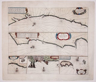
de Cust van Barbaryen.
Fine, early chart of the Barbary Coast--the pirate haven along the southwestern coast of Morocco. The two primary horizontal charts cover from Safi in the north to Cap Blanc in the south. At the bottom of the chart are three insets: of the Madeira Islands, of Angra, the primary city.....
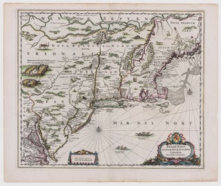
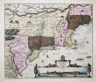
Novi Belgii Novaeque Angliae.
A map that is as historically important as it is attractive: it was the culmination of all the surveys conducted by the Dutch colonists of New Netherlands during their first three decades in America. It is also the first printed map to delineate the shape of Manhattan with relative accuracy;.....
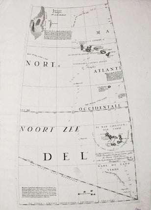
Untitled Globe Gore.
A gore (constituent globe part) by the greatest early globe maker, showing the Azores and Cape Verde island groups. Tracks of various 17th century European voyages headed to the East Indies, which used these islands as way stations, are plotted out, with their positions for particular dates indicated. In the.....
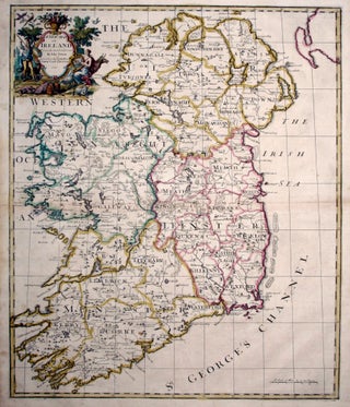
A New Map of Ireland….
John Senex’s large folio map of Ireland, in a beautiful example with a bold strike and rich hand color. The map shows Ireland’s counties, cities and towns, waterways and loughs as expected, but includes more unusual information as well, such as the pilgrimage site of Saint Patrick’s Purgatory in County.....


