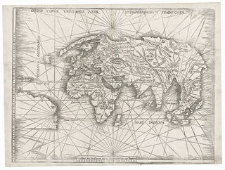
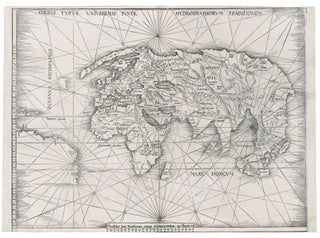
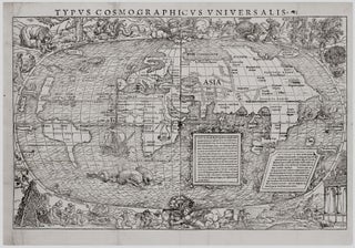
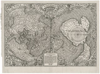
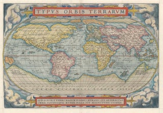
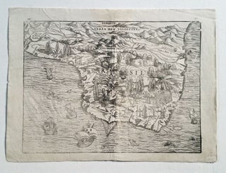
World. WALDSEEMULLER, M. [Strasbourg, 1513] Orbis Typus Universalis Iuxta Hydrographorum Traditionem. 17 3/8 x 22 1/2 inches. Woodcut with complete margins; some weakening of impression in areas, else excellent condition. An exceptional, uncropped example of one of the earliest world maps of the Discovery.....
South America
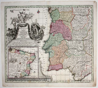
Portugalliae et Algarbiae Regna.
Superb original-color example of this large, ornate map of the kingdom of Portugal, with an inset map of the kingdom’s former colonies in Brazil. The allegorical cartouche alludes to Portugal’s profitable history of exploration. To the left, Neptune astride his chariot, showing dominance over the sea. To the right, Europa.....
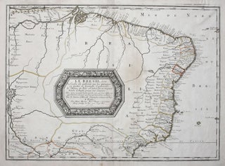
SANSON, Nicolas [Paris, 1656] Le Bresil, dont la Coste set possedeé par les portugais et diviseé en Quatorze Capitanieries. 15 ½ x 21 ¼ inches. Original outline color; excellent condition. An attractive, full-size edition of Sanson’s elegantly engraved map of Brazil. It shows the coast of South America.....
Out of stock
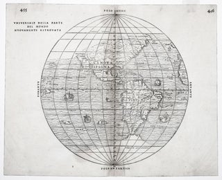
Universale Della Parte Del Mondo . .
The rare first state of an important and in some ways groundbreaking map. The woodblock for this map was destroyed shortly after its publication in a fire in November of 1557, hence its rarity. The map was compiled by the great Venetian cartographer, Giacomo Gastaldi, and appeared in a three-volume.....
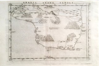
Brasil Nuova Tavola.
First state by Ruscelli of one of the earliest separate maps of Brazil. An erupting volcano is pictured at top center on the west-orientated map. The map appeared in an edition of Ptolemy’s Geography.
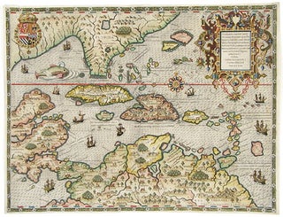
Occidentalis Americae partis, ve, earum Regionum quas Christophorus Columbus.
Arguably the most beautifully engraved early map of the Caribbean, including Florida and the Southeast, here with color of uncommon beauty. The map includes representations of Columbus’ ships and various notes regarding his discoveries. It appeared in Book IV of De Bry’s Grands Voyages with text by Benzoni. De Bry’s.....
Brazil. GASTALDI, G./ RAMUSIO, J.B. [Venice, 1556/ 1606] Brasil. 10 ¾ x 14 ½ inches. Woodcut in very good condition with wide margins. One of the first separate maps of Brazil and certainly among the most richly illustrated. Indigenous peoples are depicted at various labors and activities, with an emphasis.....
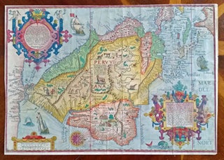
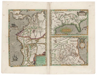
Southeast/ Florida/ Columbia/ Bolivia ORTELIUS, A./ CHIAVES, H. [Antwerp/ London, 1584/ 1606] La Florida. Auctore Hieron. Chiasues. Peruviae Auriferae Regionis Typus… Guastecan Reg. 14 x 18 inches. Fine original color; light staining along centerfold & a bit in the margins, else excellent condition. .....
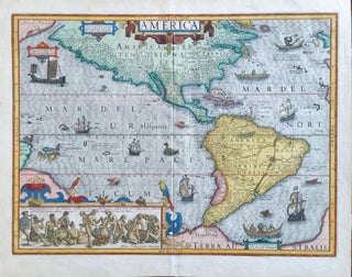
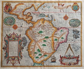
South America/ Brazil/ Caribbean/ Florida. DE BRY, T. [Frankfurt, 1592/ 1624] Americae Pars Magis Cognita. Chorographia nobilis & opulentae Peruanae Provinciae, atque Brasiliae, . . . MDCXXIV. 14 3/8 x 17 1/4 inches. Fine hand color; margins expertly extended with no loss of engraved surface, else excellent condition. .....
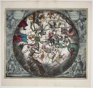
Haemisphaerium stellatum Australe aequali sphaerum proportione.
In this arresting work, constellations of the southern skies, as if viewed from deep in space, can be seen superimposed over a portion of the earth. The area depicted “beneath” the stars extends from the United States to the South Pole and includes all of South America. Because this chart.....


