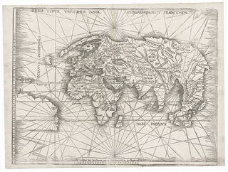
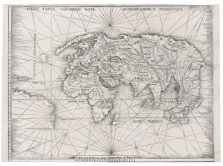
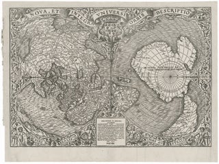
World. WALDSEEMULLER, M. [Strasbourg, 1513] Orbis Typus Universalis Iuxta Hydrographorum Traditionem. 17 3/8 x 22 1/2 inches. Woodcut with complete margins; some weakening of impression in areas, else excellent condition. An exceptional, uncropped example of one of the earliest world maps of the Discovery.....
Africa
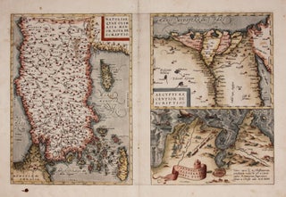
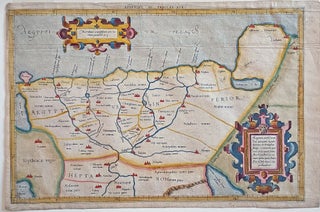
ORTELIUS, Abraham [Antwerp: 1570] Natoliae.../ Aegypti.../ Carthaginis... 12 1/2 x 19 1/4 inches. Fine hand color; reinforced bottom of centerfold, few edge mends, ink stain lower left, still very good condition overall.A very early issue from a 1570 edition, the year of the first appearance of Theatrum Orbis Terrarum, the first modern atlas. Three editions.....
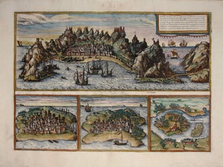
Aden, Arabiae Foelicis Emporium….
One of relatively few engravings by Braun & Hogenberg of non-European locales. The earliest acquirable European view of Aden in Yemen, the Arabian port commanding the passage between the Red Sea and the Indian Ocean. Also pictured are Mombasa in Kenya, Kilwa in Tanzania, and Sofala in Mozambique, all on.....
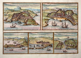
Tingis, Lusitanis Tangiara/ Tzaffin/ Septa/ Arzilla/ Sala.
The first issue of this early engraving of five Moroccan port cities, including Tangier, Asilah, the fishing port of Safi, and the ancient city of Sale’. Cueta is an autonomous Spanish city opposite Gibraltar.The engraving appeared in the Civitatis Orbis Terrarum, the first atlas of city plans and views. This remarkable work.....
Appendix. III. Tabulae Afr:.
An attractive example of the second issue from Mercator’s definitive edition of Ptolemy’s geography. The map shows the area as it was known in the Roman Imperial period and includes Alexandria, the homeland of it maker, Claudius Ptolemy, and the center of learning at the time. Also on the map.....
de Cust van Barbaryen.
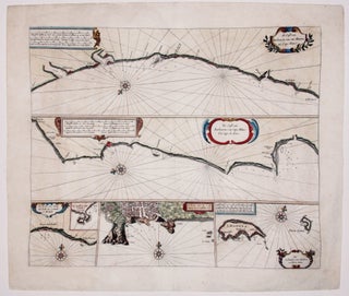
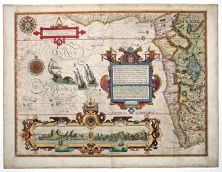
Fine, early chart of the Barbary Coast--the pirate haven along the southwestern coast of Morocco. The two primary horizontal charts cover from Safi in the north to Cap Blanc in the south. At the bottom of the chart are three insets: of the Madeira Islands, of Angra, the primary city.....
Untitled Globe Gore.
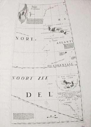
A gore (constituent globe part) by the greatest early globe maker, showing the Azores and Cape Verde island groups. Tracks of various 17th century European voyages headed to the East Indies, which used these islands as way stations, are plotted out, with their positions for particular dates indicated. In the.....
Out of stock
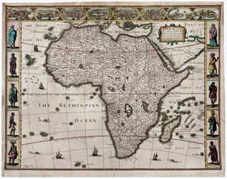
Africae, described, the manners of their Habits,… G. Humble Ano 1626.
A vigorously decorative map of Africa--the first in English but adopting the rich Dutch cartes a figures style so popular at the time. As is customarily seen on 17th century maps, Africa's interior is filled with fictitious mountains, rivers and lakes as well as notations concerning legends, notably where gold.....
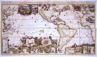
Carte Tres Curieuse de la Mer du Sud.
A splendid example, with rich, vibrant hand color, of a wall map of extraordinary intricacy and detail: "one of the most decorative maps of North America of the 18th century" (Tooley). Its elaborate illustrations provide a panorama of the Discovery Period, colorfully depicting the mores, rituals and practices of indigenous.....
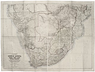
Juta’s Map of South Africa From The Cape To The Zambezi.
This large, superbly detailed map of South Africa shows the region just prior to the outbreak of the Second Boer War. The Boer territories - Orange Free State and the South African Republic - are both shown in yellow, as distinct from the surrounding red of British lands. The gold.....


