Texas & Southwest
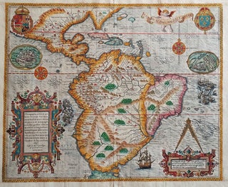
South America/ Brazil/ Caribbean/ Florida. DE BRY, T. [Frankfurt, 1592/ 1624] Americae Pars Magis Cognita. Chorographia nobilis & opulentae Peruanae Provinciae, atque Brasiliae, . . . MDCXXIV. 14 3/8 x 17 1/4 inches. Fine hand color; margins expertly extended with no loss of engraved surface, else excellent condition. .....
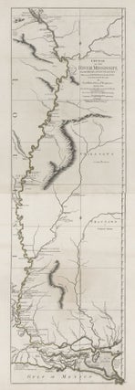
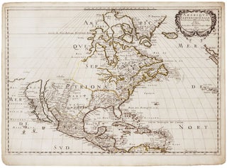
Amerique Septentrionale . .
An attractive example of a pivotal map, which inaugurated a new era in the cartography of North America, as dominance in mapmaking turned decidedly in favor of the French. In addition to being one of the earliest obtainable maps to show all five Great Lakes in a recognizable form, this.....
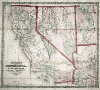
Bancroft's Map of California, Nevada, Utah and Arizona,
A bright, vibrant example of a map of California and the western states by "the greatest map publisher of the Pacific Coast" (Wheat). The map descended from what Wheat called "the great 'map of the Pacific states'"--that of William H. Knight, published in 1863, also by the Bancroft firm. The.....
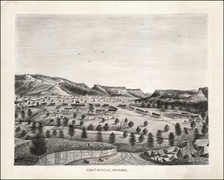
Camp Apache, Arizona.
An important, wonderfully detailed, signed and dated watercolor view of arguably the most storied western American fort, here called Camp Apache, later becoming Fort Apache. The fort was located near present-day Whiteriver in the central eastern part of Arizona. It was at the flashpoint of the decades-long Apache Wars and.....
Panoramic Views along the Line of the Denver & Rio Grande Railroad. The Scenic Line Of The World.
A superbly realized promotional brochure, one of the finest we've seen, issued by the Denver & Rio Grande Railroad, featuring a sequence of nine beautiful views of Colorado's mountainous natural wonders, many with trains cutting through the landscape. Fittingly the railroad's original motto was "Through the Rockies, not around them.".....
Out of stock
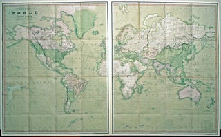
A New Chart of the World On Mercator's Projection With The Track Of The Most Celebrated & Recent Navigators.
A beautiful example in full, vibrant, period color of a majestic, folding world map. A rare issue with very important updates. The map is an extraordinary compendium of oceanic exploration and contains voyage tracks from the 15th century to those contemporaneous with the map including those relating to polar and.....
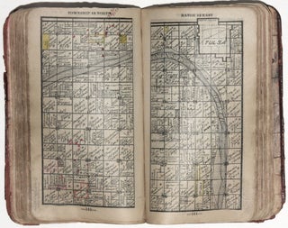
Hastain's Township Plats of the Creek Nation.
A scarce, pocket land atlas, made for use in the field, of the properties owned by members of the Five Civilized Tribes--the Creek, Seminole, Cherokee, Choctaw and Chickasaw nations. The work remains to this day one of the best and most reliable sources for locating original land ownership titles in.....