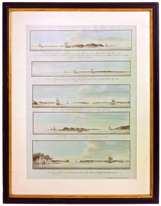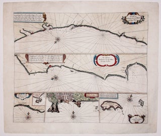
de Cust van Barbaryen.
Fine, early chart of the Barbary Coast--the pirate haven along the southwestern coast of Morocco. The two primary horizontal charts cover from Safi in the north to Cap Blanc in the south. At the bottom of the chart are three insets: of the Madeira Islands, of Angra, the primary city.....