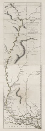
Course of the River Mississippi from the Balise to Fort Chartres.
Tall, striking work based on the first official survey of the lower Mississippi River done in 1763. The map extends north to just below St. Louis. It provides considerable detail for the New Orleans area and shows Baton Rouge and Lake Pontchartrain. The map is significant for its delineation of.....


