click here to zoom
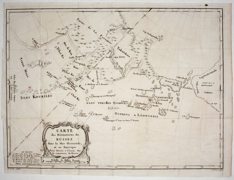
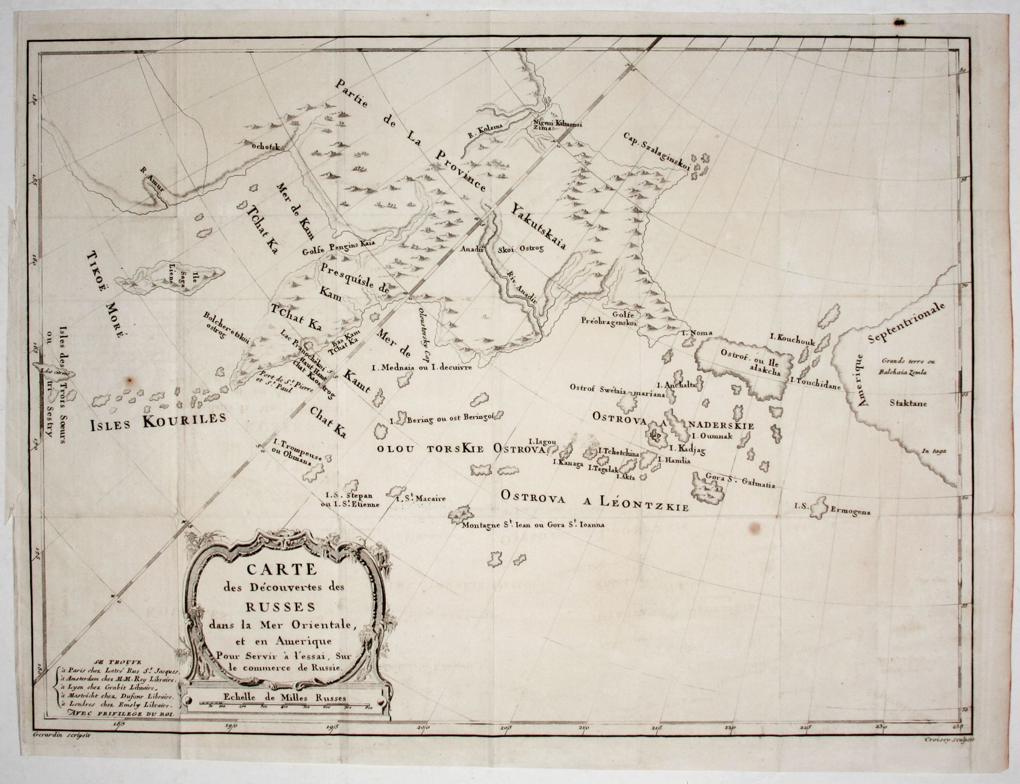
Carte des Decouvertes des Russes dans la Mer Orientale….
16 x 21 ½ inches, A few stains, folds, else excellent.
A scarce, attractively engraved map, from Russian sources, focusing on northeastern Russia, the Bering Strait and its islands, and Alaska. It appeared in M. Marbault’s Essai sur le commerce de Russie…, which is an account of Russian trade as well as a history of Russian explorations in the areas depicted on the map. Some of the place name spellings on the map suggest it was derived at least in part from Russian sources. However, the islands between the continents are considerable distorted as to size.
* Lada Mocarski 26.
Sold
See all items in
Antique Maps
See all items by J. B. Bering Strait/ Alaska. GERARDIN / CROISEY, Draftsman