click here to zoom
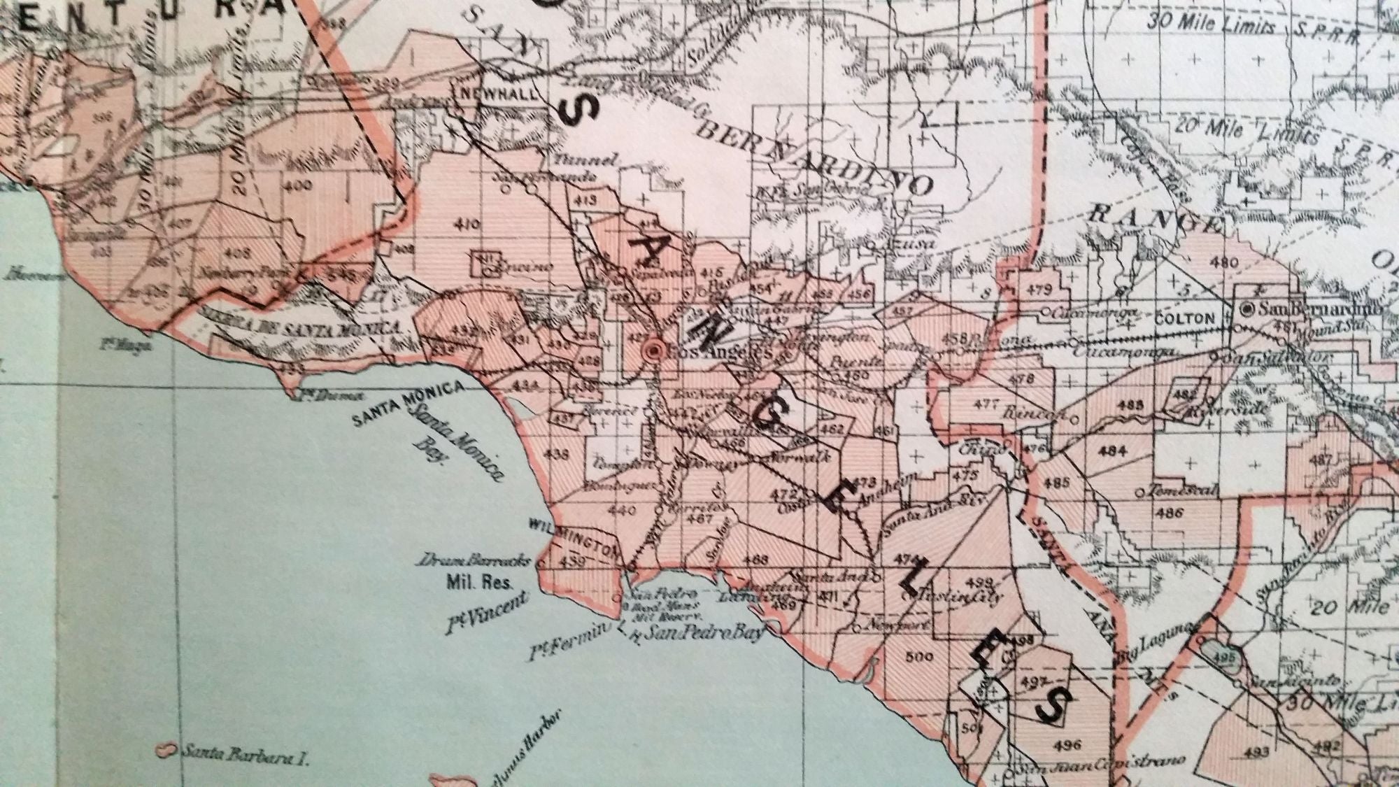
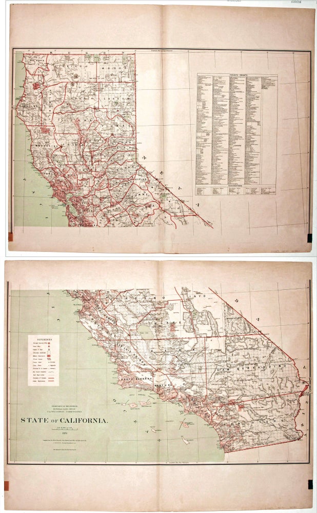
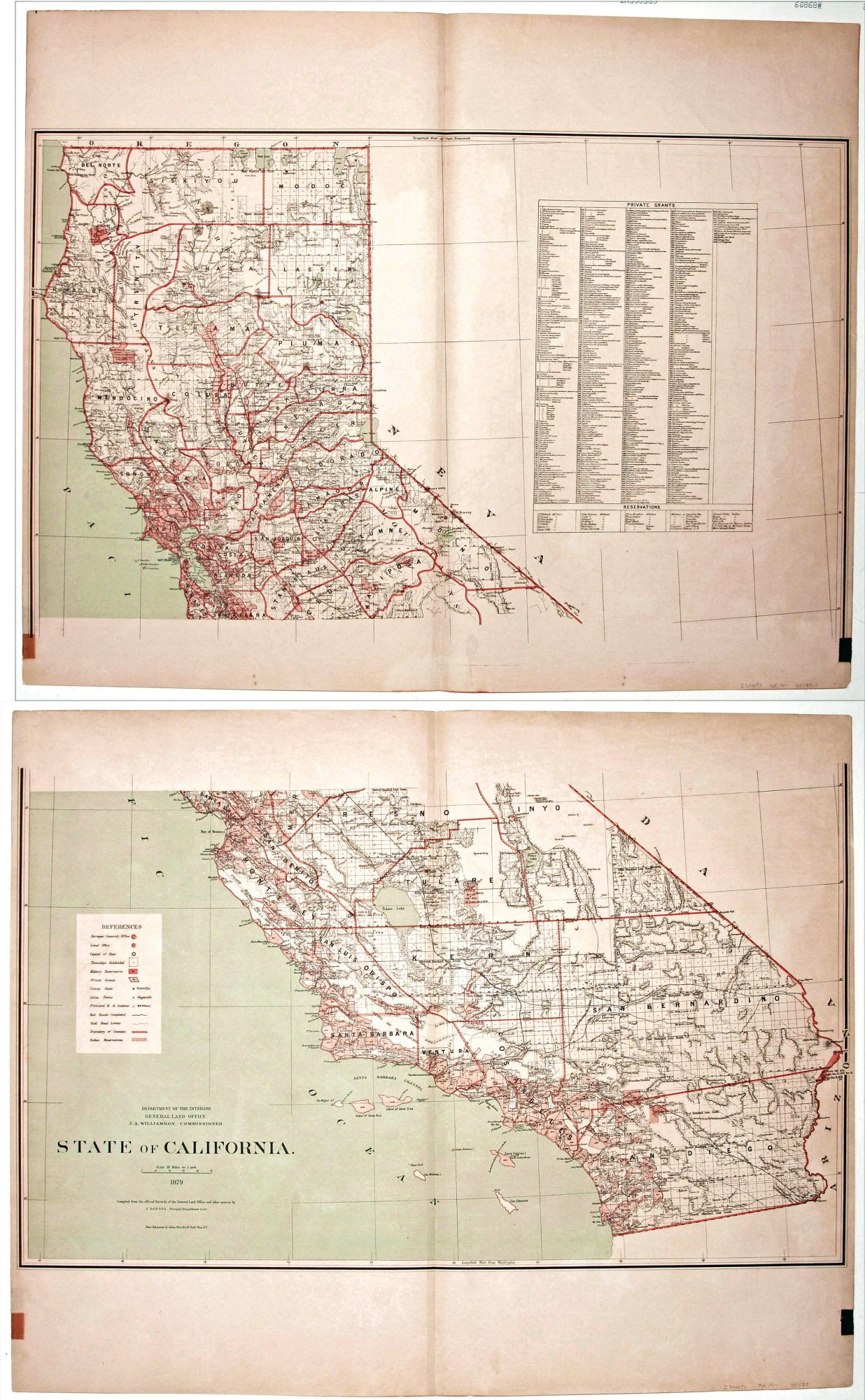
State of California. Published by the Department of the Interior, General Land Office. J. A. Williamson, Commissioner.
Three-color lithograph. Two sheets--image size if joined 38 1/8 x 32 ¾ inches. Mounted on linen as issued; excellent condition.
Attractive, richly detailed map, important for the extent of railroad information that includes even small spur lines and stations. Also significant is the table listing 545 private land grants that are keyed to the map. Using the best available sources, the map was compiled from the official records of the General Land Office and other sources by C. Roeser, Principal Draughtsman of the G.L.O. It shows mines, Indian and military reservations, range and township lines, cities and towns, county names and boundaries, county seats, and various topographic and natural features.
Sold