click here to zoom
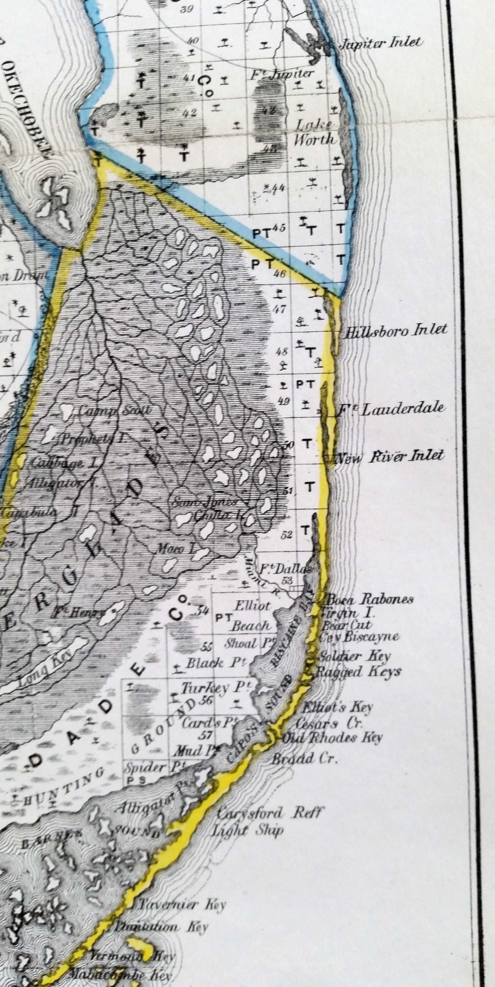
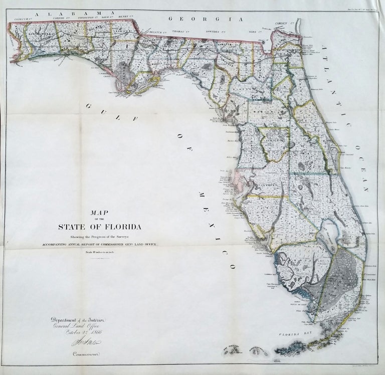
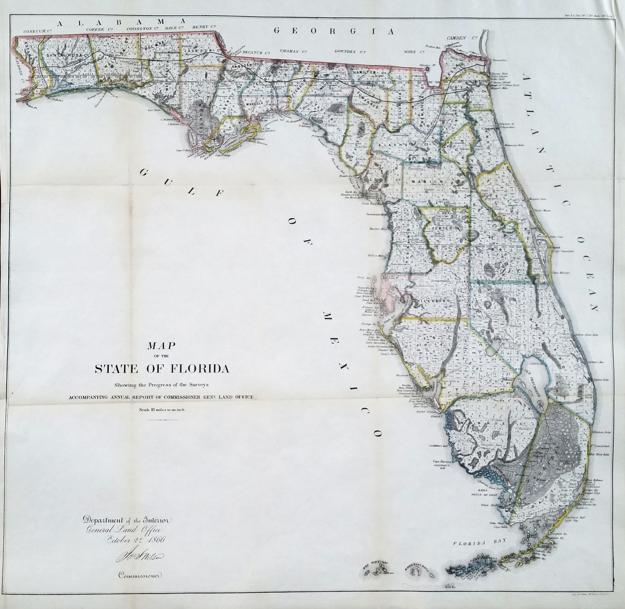
Florida. GENERAL LAND OFFICE [Washington, DC: Oct. 2, 1866] Map Of The State Of Florida Showing the Progress of the Surveys… 23 x 24 ¼ inches. Lithograph with outline hand color; slight losses at fold intersections, back with rice paper for stability, overall an excellent, bright example. Large, attractive map presenting the state of geographic knowledge of Florida just after the Civil War. As indicated by the title, the map shows the progress of the General Land Office’s all-important surveys that were preliminary to any settlement and sale of lands. The map reveals that nearly the entire state had been surveyed to this point. However, the map also provides a good rendering of the state’s topography, notably its wetlands that have changed so much over the years. The state’s earliest rail lines can be seen in the north, and roads and trails are shown throughout. Federal forts are also shown. Two poignant details on the map are that “INDIAN HUNTING GROUND” occupies a small area at the very southern extremity, and in another tightly circumscribed area we find “Country Occupied by the Seminoles.”
Sold