click here to zoom
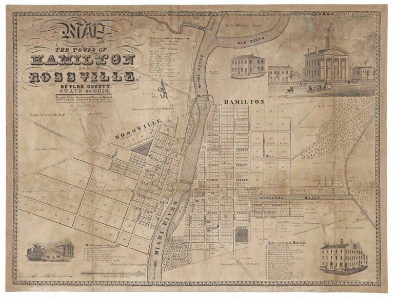
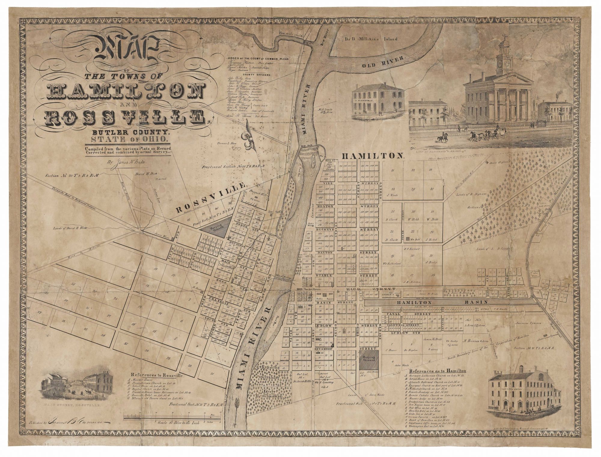
MCBRIDE, James (Mapmaker)/ KLAUPRECH & MENZEL (Lithographers)/ CAMERON, James B. (Publisher) [Cincinnati: c. 1839-1844] Map Of The Towns Of Hamilton And Rossville… 26 x 33 ¾ inches. Lithograph. Expertly conserved involving some loss of image reinstated in facsimile, particularly at top; margins almost entirely reinstated. Lingering toning and staining, again concentrated toward the upper reaches of the map; lined with linen; still fairly good condition of this kind. Very rare; OCLC locates no institutional examples. A remarkable survival of early American regional cartography, depicting the southwestern Ohio towns of Hamiton and Rossville, located just north of Cincinnati. (Rossville is today a part of Hamilton.) Attractively lithographed by the estimable Cincinnati firm of Klauprech & Menzel, important early Midwestern lithographers. As was the case with many early American city plans, this one served a variety of purposes, not the least of which was to present the towns as prosperous and substantial, which is accomplished nicely here by the map’s emphasis on the towns’ access to water power from the Miami River, its proximity to the Miami Canal, and several inset images of fine buildings. It is no surprise that the plan also contains much in the way of practical information, such as building lots, transportation infrastructure, and the names of town’s key officers and its primary structures. The mapmaker, James McBride, was in a very real sense a founding father of Hamilton and “seemed to have a part in just about everything that helped Hamilton and Butler County grow into an industrial powerhouse” (See online reference below). McBride exemplified a certain kind of prototypical early American genius in the astounding variety of his accomplishments and interests, which merit recounting in detail: “McBride bought the first printing press to be shipped to Hamilton in 1814 as part owner of the Hamilton Miami Intelligencer. In 1816, he was a stockholder in the first bridge to join Rossville and Hamilton. He took part in creating the laws regarding the Miami Erie Canal and in the surveying of the land, reportedly walking between Cincinnati and Lake Erie “many times over.” He was likewise instrumental in developing the Hamilton Hydraulic, a local canal that powered mills and factories in the northeast part of the city. McBride served on the founding boards of the Hamilton-Rossville Library Association (now the Lane Libraries) and the Greenwood Cemetery Association, the Historical and Philosophical Society of Ohio, and was affiliated with Miami University from its origin until his death, at which time he was president of the Board of Trustees. McBride created the first map of Butler County in 1836, a five-foot-by-four-foot copperplate showing every stream, spring, pond, school, orchard, and farm, detailing the names of the farmers in his distinctive cursive hand. This endeavor inspired an interest in archeology, and McBride’s three decades of research resulted in a large collection of Native American artifacts, field notes, and maps detailing the locations of earthworks and other aboriginal sites in the Miami Valley, including 221 mounds in Butler County alone. All the way, he studied. He spoke—or rather, listened to—the founders of the city and took copious notes. He wrote the first history books of Hamilton, Oxford and Miami University, as well as “The Pioneer Biography of Butler County.” By some estimates, he wrote over three thousand pages of manuscript regarding Hamilton, Butler County, and Indian archaeology. He actively collected books, amassing a library of over 5,000 volumes, and was said to have kept every pamphlet that reached him. Much of this collection has been destroyed, though history doesn’t seem to know the circumstances of that loss, other than to remark that it is “’incalculable to the student of Western history’” (See online reference below). The town of Hamilton was first incorporated in 1810 but lost its status in 1815 for failure to hold elections. It was reincorporated in 1827 and at the time absorbed Rossville, the community across the Great Miami River in St. Clair Township. The towns severed their connection in 1831 only to be rejoined in 1854. The plan is undated, but we believe it to date from 1839, when the lithographic firm of Klauprech & Menzel probably began operating in Cincinnati, to ca. 1844, a year before the Hamilton Hydraulic System—not shown on the map–was opened to provide the town with water power to attract development. The publisher of this work, James B. Cameron (formerly Camron), was a newspaper publisher in Hamilton. The map is also very rare on the market; there are only two entries for it in the Antique Map Price Record, dated 2001 and 2002. These and the present are likely all the same example. https://www.justhamilton.com/james-mcbride-pioneer-entrepreneur/
Sold