click here to zoom
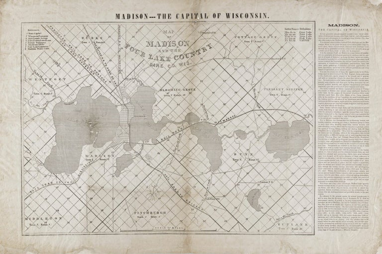
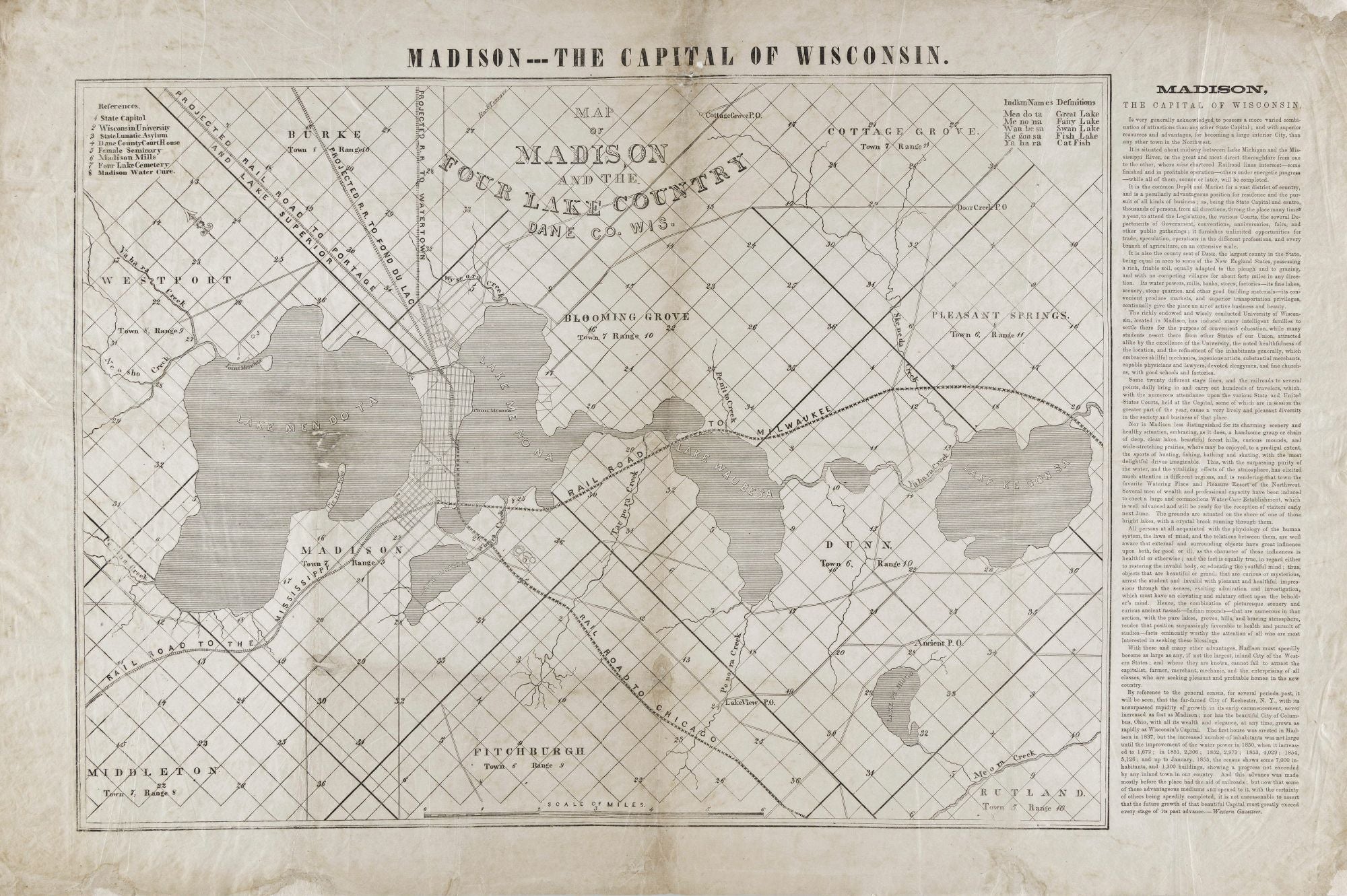
GREELEY, Horace/ FARWELL, Leonard J. [Madison?: n.d. but 1856] Map of Madison and the Four Lake Country, Dane Co. Wis. 16 ¾ x 26 ¼ inches. Ceragraphic (wax-engraved) map on thin paper. Lightly toned, some fold reinforcements, restored losses at two fold intersections and to outer margins; still good condition for a separately published map and relative to other known examples. An early, important and rare map of Madison and surroundings, the first to include the present names of the four lakes near the city. With uncommon lyricism, the lakes were all give euphonious Indian names by one Lyman C. Draper. A legend at upper right provides translations. While numerous examples of the map were printed in various states (some without text), it is very rare on the market due to it having been separately published on thin paper. This broadside map is also a wonderful example of the use of cartography, accompanied with shamelessly hyperbolic prose, in the promotion of a city. The creation of the map combined two powerful voices—that of Horace Greeley of “Go west, young man” fame, and Leonard J. Farwell, governor of Wisconsin from 1852 to 1854, and one of the city’s most important early boosters. Greeley was in Madison in 1854-55 for the convention that founded the Republican party, was captivated by the city, and connected with Farwell and his efforts to promote the city. The text at right describing Madison holds nothing back; it begins: “Madison, The Capital Of Wisconsin, is very generally acknowledged to possess a more varied combination of attractions than any other State Capital…” and onward and upward from there. Park, W. J. Madison, Dane County and Surrounding Towns… pp. 206-08.
The most prominent visual feature on the map and the one that most aided its promotional impact are the three major rail lines converging in Madison that connected the city with Chicago, Milwaukee and the Mississippi River. Two projected rail lines are also shown. The legend at upper left identifies and locates important buildings including the State Capitol, Wisconsin University, and the “Madison Water Cure.” Surrounding towns included are Middleton, Fitchburg, Rutland, Pleasant Springs, Cottage Grove, Blooming Grove, Westport, and Burke.
Sold