click here to zoom
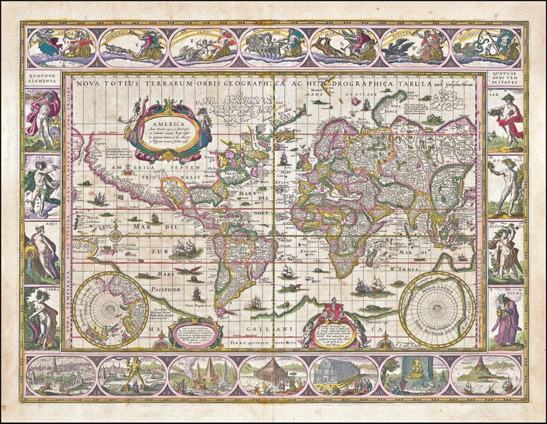
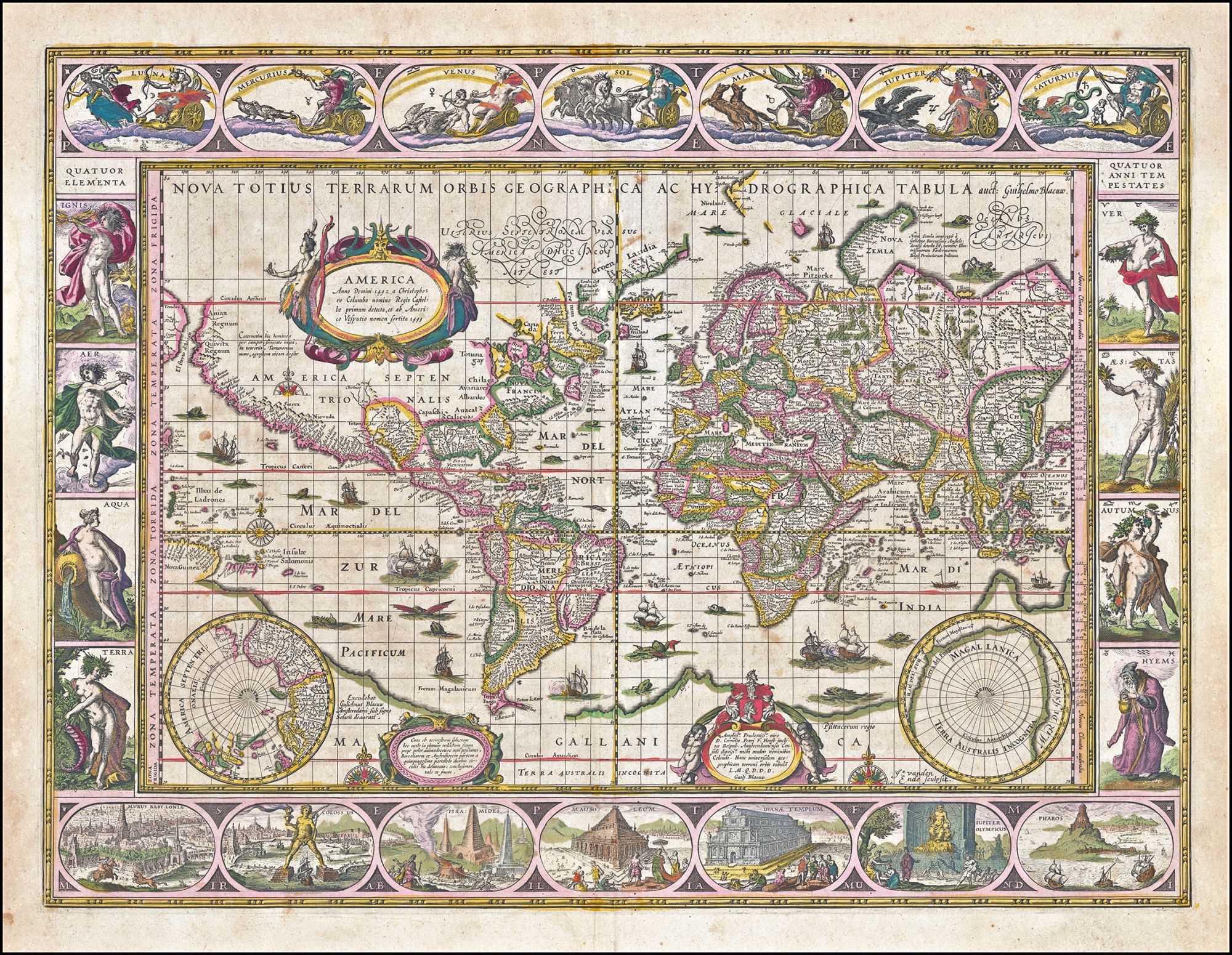
World. BLAEU, W. [Amsterdam, c. 1635] Nova Totius Terrarum Orbis. 16 x 21 3/8 inches. Fine original color; light age-toning, light staining & slight chipping at outer margin only, else excellent condition. Blaeu demonstrated his geographic sophistication in his use of the Mercator Projection, which was not very well understood when this map was originally designed. Although its greatest application was in making maps truly useful for navigation, the projection eventually became the dominant one used for world maps, even as late as the 20th century. Since the projection exaggerates the sizes of landmasses the closer one moves to the poles, some have suggested a political even imperialistic motivation in its wide use, since both Europe and the United States are enlarged disproportionately on maps using the projection. North America is depicted with the geographic knowledge gained from some of the earliest colonizing efforts of the English in Virginia and the French in northern Florida and Canada. The Dutch at the time were still very interested in finding new sea routes to their trading centers in the East Indies. As a result, Blaeu paid close attention to recent explorations in the Hudson's Bay and Davis Strait where a Northwest Passage had been sought. The Dutch also had investigated the possibility of a Northeast Passage over Europe, the results of which are shown here. The highly significant Dutch discovery of Tierra del Fuego by Schouten and Le Maire and the resulting new passage around South America to the Pacific can also be seen here. Although this discovery called into question the existence of the huge Southern Continent, Blaeu has obviously attempted to reconcile the new discovery with the prevailing belief. Shirley, R. Mapping of the World, no. 255, state 4 (as are all atlas issues of the map).
A signature map of the Golden Age in full original color. Although one cannot specifically date examples of this map, this one, based on the strength of its printing impression, was clearly an early issue. Blaeu's world map has been considered one of the peaks of the Dutch Golden Age of Mapmaking for its lavish decorative detail combined with state-of-the-art geography. The intricately engraved border panels illustrate the Seven Wonders of the World along the bottom, the elements and seasons along the sides, and classical figures for the planets, moon and sun along the top. Numerous sea monsters and ships fill the ocean areas of the map.
Sold