click here to zoom
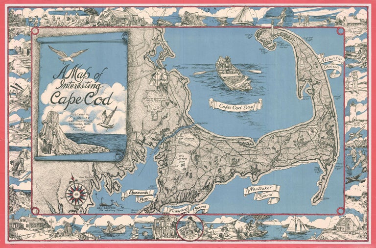
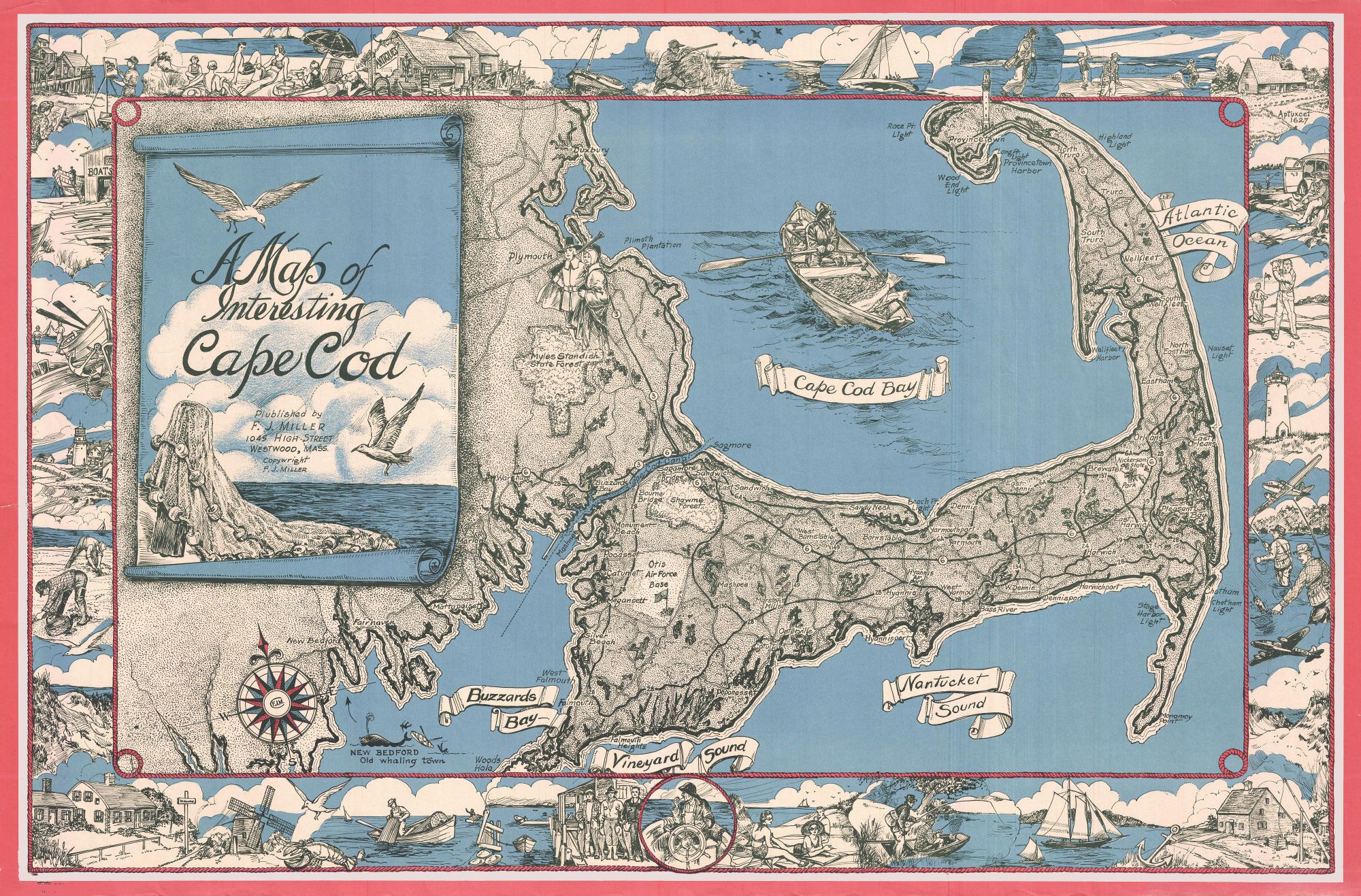
Cape Cod. MILLER, F. J. [Westwood, MA, c. 1945-1950] A Map of Interesting Cape Cod Plublished (sic) by F. J. Miller 1045 High Street Westwood, Mass. Copywright (sic) F. J. Miller Three-stone lithograph. 21 ¾ x 33 inches; with frame: 25 x 36 inches. Some fading of red border, else fine condition. Attractively framed. While usually dated c. 1950, one source states the original artwork for the print was done in 1945. Its graphic style is clearly that of the ‘40s. Works such as this one were reflections of the explosion in post-World War II interest in tourism and recreation. Curiously, while this work was made with evident care and attention to detail, it has two egregious misspellings in the title, indicative of it having been private produced.
Of the numerous pictorial maps of Cape Cod published during the golden age of pictorial maps from the 1920s to 1970s, this is arguably the finest. The many vignettes surrounding the map depict the Cape’s diverse attractions, emphasizing sporting activities and fishing in particular. Also illustrated are an artist at work in Provincetown, golf, antiquing, sun bathing and clamming. The map itself provides fairly minimal information, suggesting it was produced to be a memento for display.
Price: $1,200.00