click here to zoom
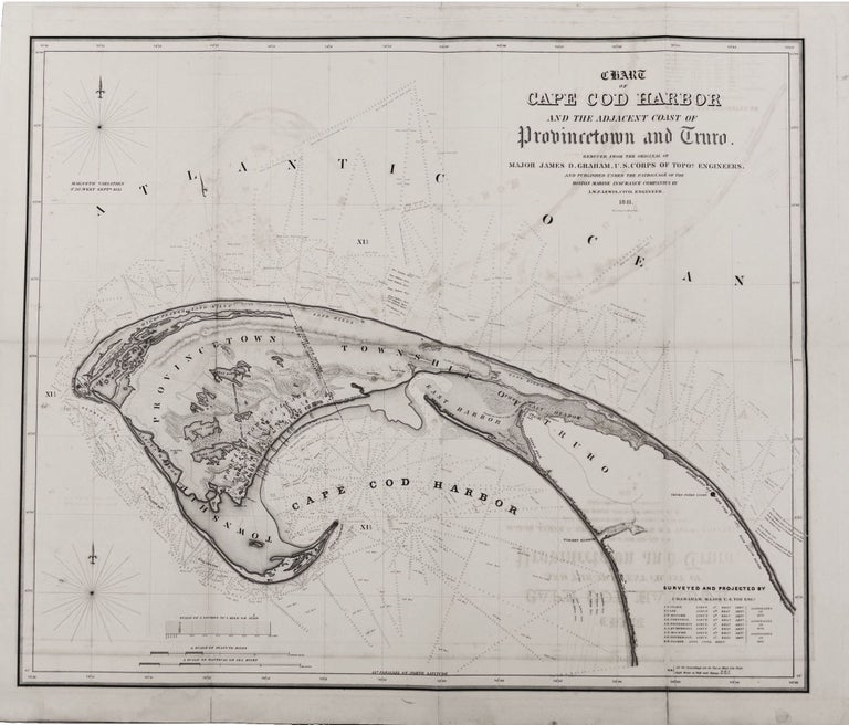
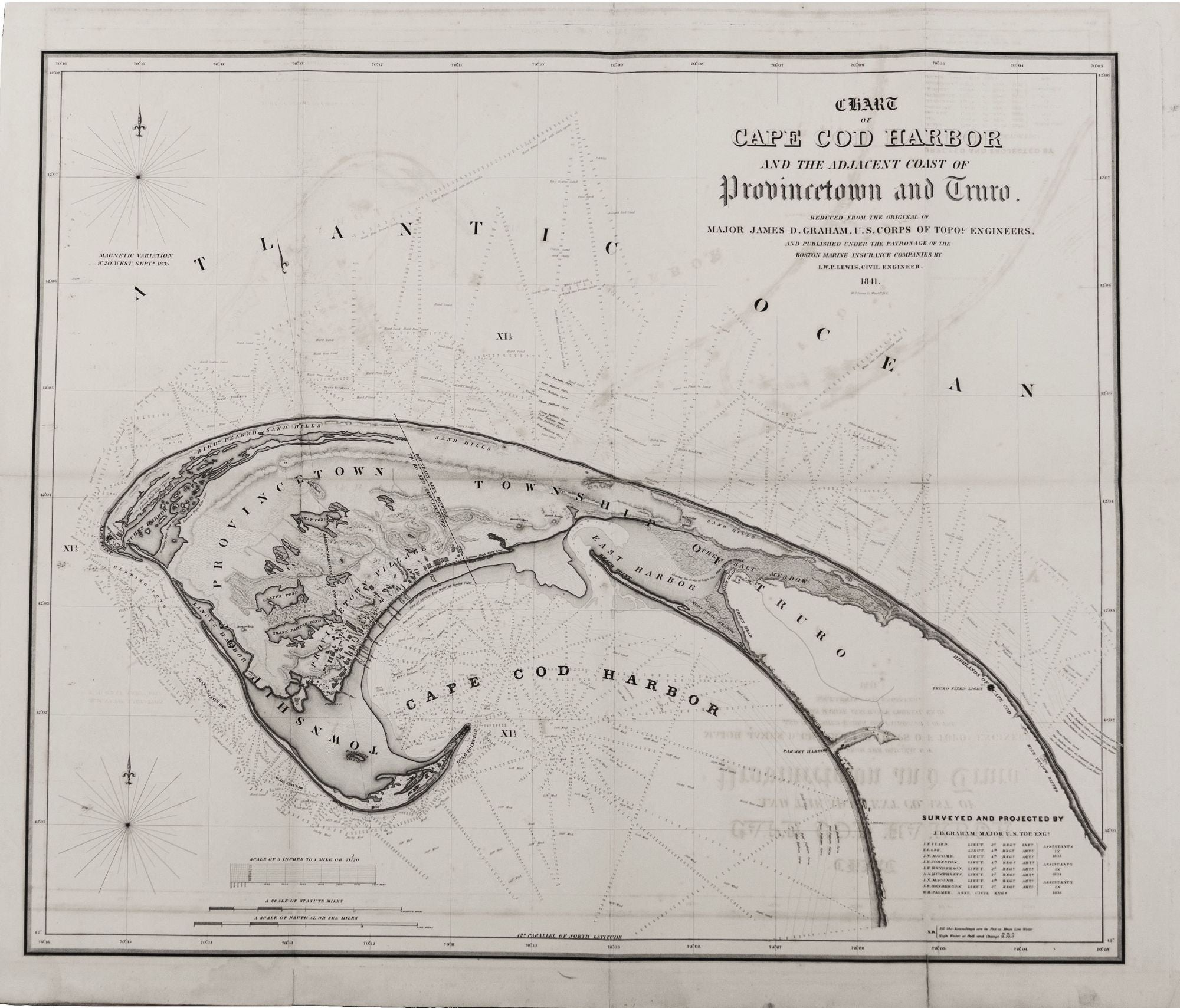
Provincetown/ Truro. GRAHAM, Major James D. [Washington, DC: 1841] Chart of Cape Cod Harbor And The Adjacent Coast of Provincetown and Truro… 27 ¾ x 33 inches. Lithograph. Some fold wear & offsetting; very good overall. Rare. Not only was this the definitive nautical chart of this area of its day, but it also richly evokes the unique topography of the Outer Cape and contains fascinating historical detail. The chart provided a long-needed guide to the treacherously shallow waters around the Outer Cape. Mariners in distress at sea were often forced to find refuge there and often met a worse fate when attempting these waters unaided. Interestingly, this edition of the chart was an unusual public/ private collaboration which speaks to the great perceived need for it at the time. The title notes that this edition was “PUBLISHED UNDER THE PATRONAGE OF THE BOSTON MARINE INSURANCE COMPANIES…” The chart was first published in a massive, four-sheet version in 1838, which in turn was only half the size of the original manuscript of it. Major Graham was at the time a recent West Point graduate, and heading the work on this chart for the Army Corps of Engineers was his first command. As Garver points out, Graham went about this task with the utmost dedication. In the course of three years of surveying work from 1833 to 1835, “his team used their theodolite to triangulate 150 points on land and 606 on water, registered 796 high tides (and 692 low tides), and dropped their lead lines to take 13,119 soundings.” Depth are hence usefully plotted along intersecting lines in all the waters surrounding the land on the chart. The work also nicely evokes the unique dunescape of the Outer Cape. Other detail includes salt works, windmills, homes and buildings, and churches and wharves, both of which are named. An area near the Point, which is today unoccupied, is called the “Lobster Plain” and has several structures near it. Several high points are named, one of which is called “Negro Head.” Major Graham, no doubt impressing his superiors with his work here, went on to a distinguished career that primarily involved important boundary surveying assignments, including the Texas-Mexico boundary (1839), the Maine-New York boundary, a re-surveying of the Mason-Dixon Line, the Mexican boundary again in 1850-51, and a boundary line through the Great Lakes. Garver notes he ended his career as the superintending engineer of the sea walls of Boston Harbor. Garver, J. G. Surveying the Shore, pp. 86-7; cf. Guthorn, P. J. United States Coastal Chart, p. 15.
Sold