click here to zoom
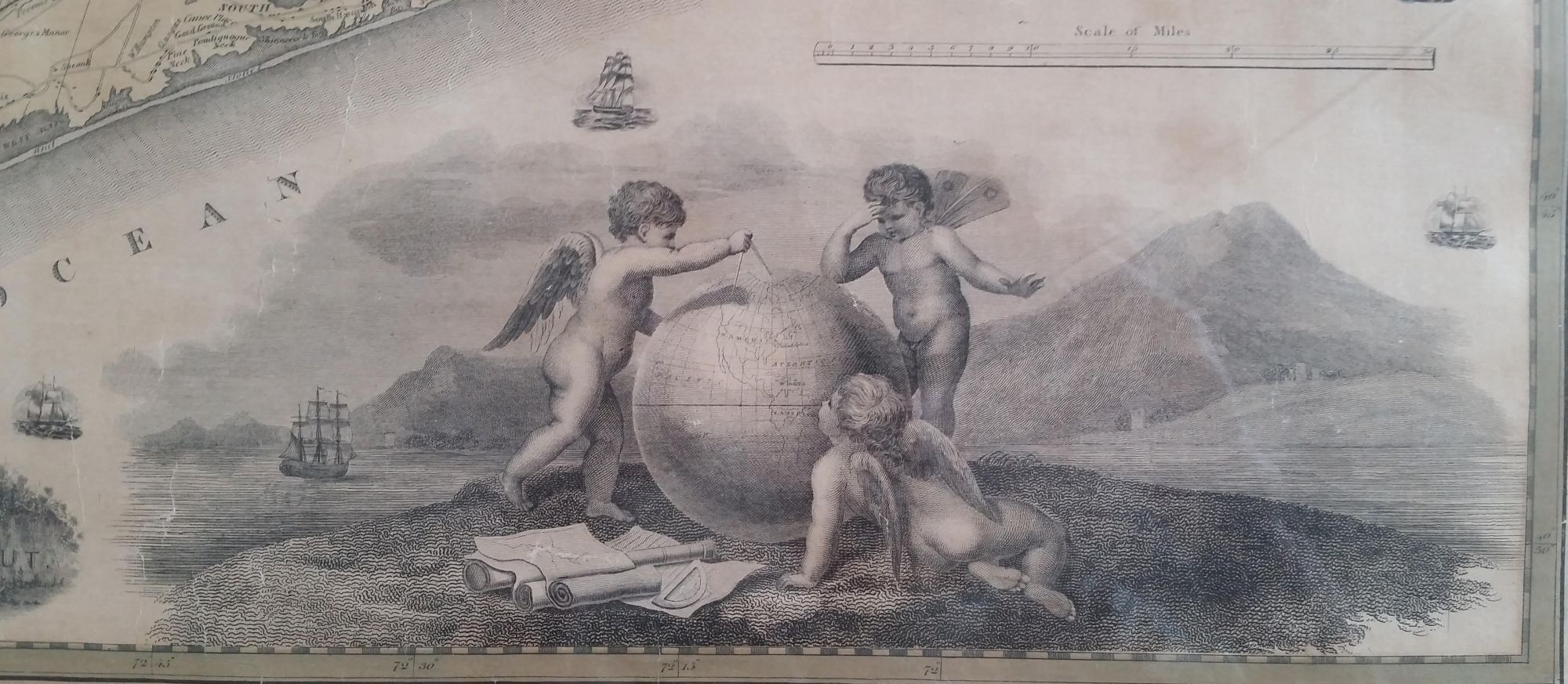
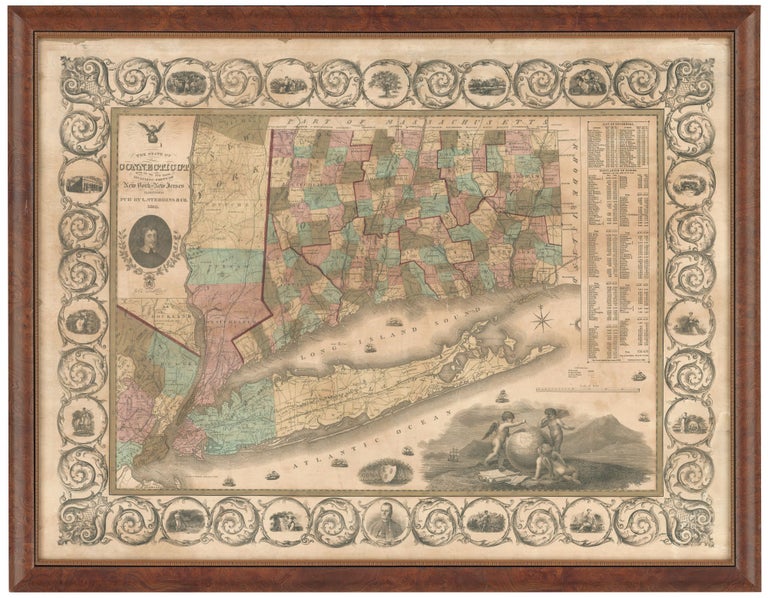
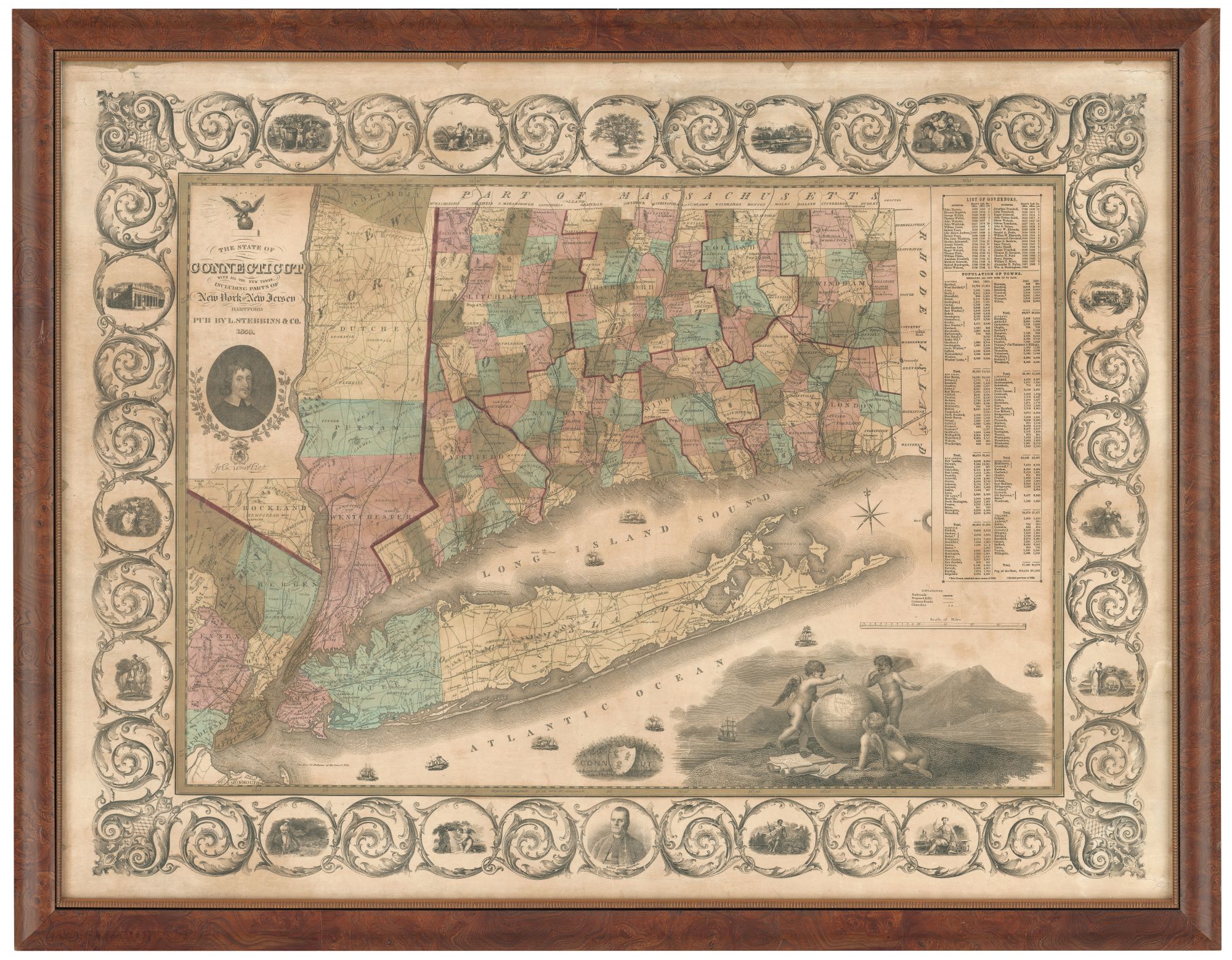
The State of Connecticut with all the new towns, including Parts of New York and New Jersey. 23 x 33 inches. Lithograph with original hand color, refreshed; wall map expertly conserved & re-mounted on new linen; relatively minor cracking, excellent of this type. Elegantly framed. A very rare, separately published, up-to-date map of Connecticut and one of the most beautiful of the state. Its elegance and intricate visual detail suggest it was intended to adorn the walls of prosperous homes, schools and offices and was designed for leisurely, refined contemplation. The intricate intertwining border contains images of the various industries and arts associated with Connecticut, cozy domestic scenes, a portrait of Roger Sherman, along with topographic views, one apparently of Hartford, and iconography such as the Charter Oak. Many of these images portray educational settings, reflective of Connecticut's long emphasis of this area. Below the title is a portrait of John Winthrop, the long-serving, 17th century governor. The large vignette at lower right depicts putti studying a globe with a shoreline scene in the background. The tables at right list the state’s governors to date and the populations of its towns and cities. The map shows rail lines, both completed and proposed and “common roads.” Thompson 180.
Price: $6,500.00