click here to zoom
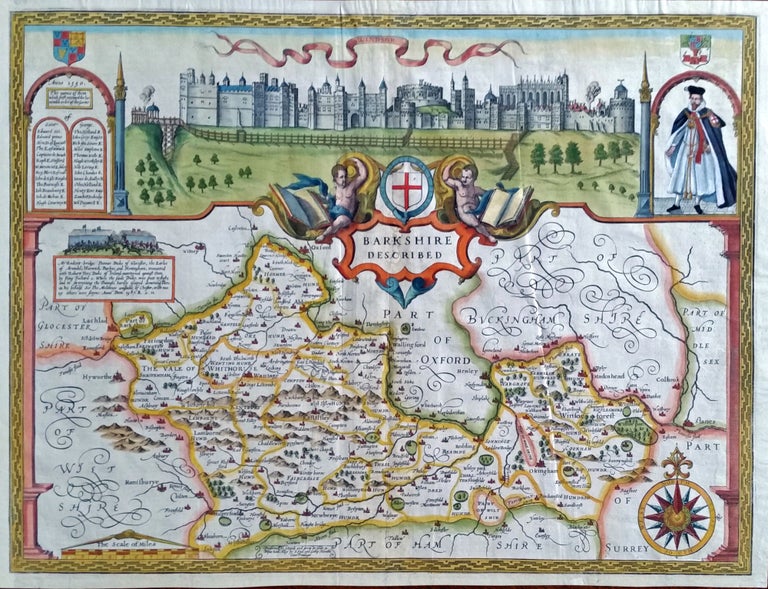
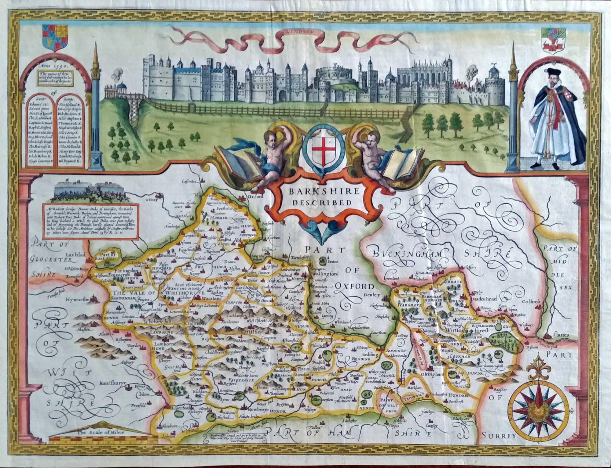
Berkshire/ Windsor Castle. SPEED, John [London, 1614 (?)] Barkshire Described. Performed by I. Speede and are to be sold in the Popes head Alley by I. Sud and Georg Humble Cum Privilegio. 15 x 20 inches. Fine hand color; expertly mended worming in centerfold with reinstatement of part of title letters, left margin extended with slight loss of outer border, still a very attractive example with a strong impression; very good overall.
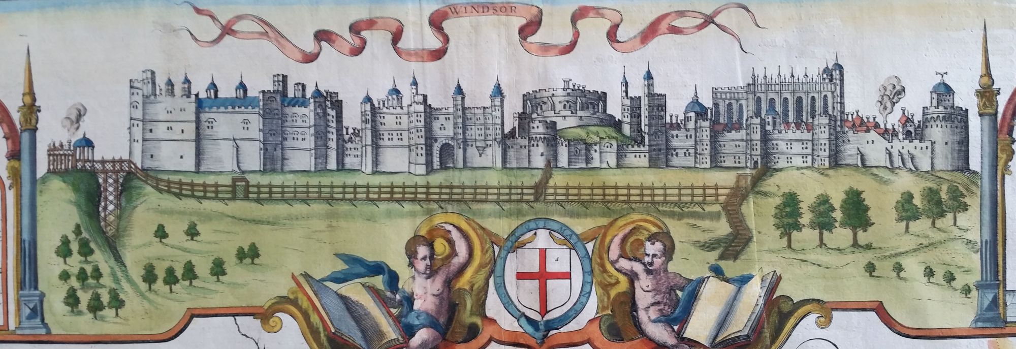
First edition (issue unknown) of one of Speed’s most visually arresting county maps, which is dominated by a view of the crenellated sprawl of Windsor Castle. Built in the 11th century by William the Conquerer, the castle’s architecturally disjointed appearance is due to it having grown by accretion, as several monarchs over its long history added their own improvements. It is considered the longest occupied castle in Europe, and several English monarchs are entombed there. To the right of the castle on Speed’s map is a portrait of James I, and to the left are the names of the original members of the Order of the Garter, England’s primary chivalric order, which is headquartered at the castle.
Berkshire is located south of the Thames River, which separates it from Oxfordshire and Buckinghamshire to the north. Just west of London yet comparatively undeveloped—it is today still largely agricultural and the site of wealthy estates and enclaves—Berkshire and Windsor Castle provided English monarchs with an easy sojourn to its world within a world.
Price: $700.00