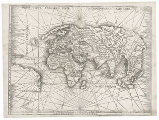
World. WALDSEEMULLER, M. [Strasbourg, 1513] Orbis Typus Universalis Iuxta Hydrographorum Traditionem. 17 3/8 x 22 1/2 inches. Woodcut with complete margins; some weakening of impression in areas, else excellent condition. An exceptional, uncropped example of one of the earliest world maps of the Discovery.....
North America & United States
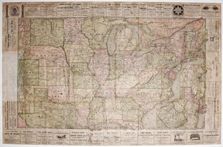
United States/ New York State/ Railroads/ Advertising. HANNIFAN & CO., Publisher/ RAND MCNALLY, Printer [New York, 1886] 1885.-Railroad Map And Business Guide in Book Form.-1886.Embracing the Principal Manufacturers, Trades and Representative Business House of Utica, Rome Camden..and Schenectady. 25 ½ x 39 ½ inches. Lithographed folding map with original hand.....
Out of stock
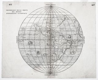
Universale Della Parte Del Mondo . .
The rare first state of an important and in some ways groundbreaking map. The woodblock for this map was destroyed shortly after its publication in a fire in November of 1557, hence its rarity. The map was compiled by the great Venetian cartographer, Giacomo Gastaldi, and appeared in a three-volume.....
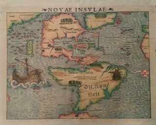
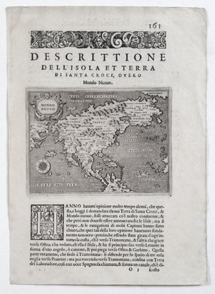
North America. PORCACCHI, Tomasso [Venice: 1572/ 1576] Mondo Nuovo. 4 ½ x 5 ¾ inches (map only). Faint tide mark upper left margin, else excellent. First state of the second earliest, obtainable map of North America, preceded only by Paolo Forlani's rare map of North America, published in Venice in.....
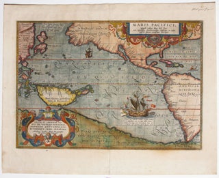
Maris Pacifici, (quod vulgo Mar del Zur) . .
The first separate map of the Pacific in a strong example. “One of the most important maps that appeared in the Ortelius atlases ...” (Burden). With its two splendid cartouches and a well-detailed illustration of Magellan’s flagship, the Victoria, this is also one of the most beautifully engraved of Ortelius’.....
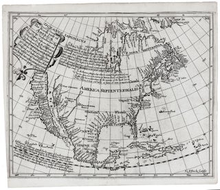
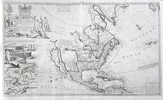
The North part of America . . .
North America/ California as an Island/ Northwest Passage. BRIGGS, H. [London, 1625] The North part of America . . . 11 3/8 x 14 inches. Excellent condition. .....
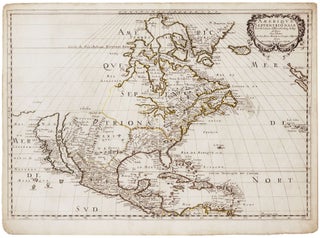
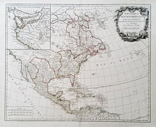
Amerique Septentrionale . .
An attractive example of a pivotal map, which inaugurated a new era in the cartography of North America, as dominance in mapmaking turned decidedly in favor of the French. In addition to being one of the earliest obtainable maps to show all five Great Lakes in a recognizable form, this.....
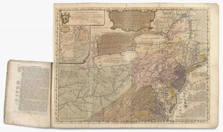
EVANS, Lewis/ FRANKLIN, Benjamin (printer)/ TURNER, James (engraver) [Philadelphia, 1755] A general MAP of the MIDDLE BRITISH COLONIES, in AMERICA; Viz VIRGINIA, MÀRILAND, DÈLAWARE, PENSILVANIA, NEW-JERSEY, NEW-YORK, CONNECTICUT, and RHODE ISLAND: Of AQUANISHUONÎGY, the Country of the Confederate Indians; … By Lewis Evans. 1755. The upper left cartouche reads: To the Honourable.....
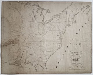
United States/Early Geographic Education/ Native American History. DAWES Jr., Samuel [Mississippi?: Dated: 1820] A Map of the United. States By Samuel Dawes Jr. 1820. [Verso:] Asia. 18 ¾ x 23 3/8 inches. Pen & ink & watercolor on woven paper. Some staining and age toning, three neatly closed splits into.....
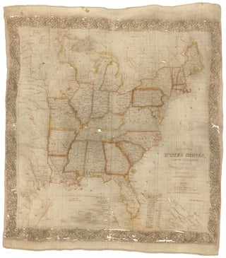
United States/ Cartographic Curiosity. BOYNTON, George W. (engraver)/ TUTTLE, Joseph Willard (publisher) [Boston: Tremont Print Company: dated 1841] A MAP OF THE UNITED STATES, FROM THE LATEST SURVEYS. WITH THE HEIGHT OF MOUNTAINS And length of the PRINCIPAL RIVERS. PATENT. 25 3/4 x 25 inches (image not including margins). Lithographed map.....
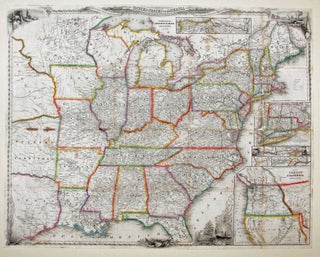
A New Map For Travelers Through The United States Of America Showing The Railroads, Canals & Stage Roads.
A delicately beautiful map of mid-19th century United States with extensive transportation-related content. Four of the work’s five inset maps focus on rail lines and canals in specific parts of the country. The large inset of the western United States at bottom right completes the picture of the country that.....
Nautical Chart: Block Island to Cuba. BLUNT, E. & G. W./ COPLEY, Charles [New York, 1853] Coast Of North America from Point Judith to Cape St. Antonio. (Island Of Cuba) Including The Bhama Banks… Every Authentic Survey, American, English & Spanish, Has Been Used In The Construction Of This Chart… 29.....


